Transafrica 2018 STOP 5
May 6, 2018
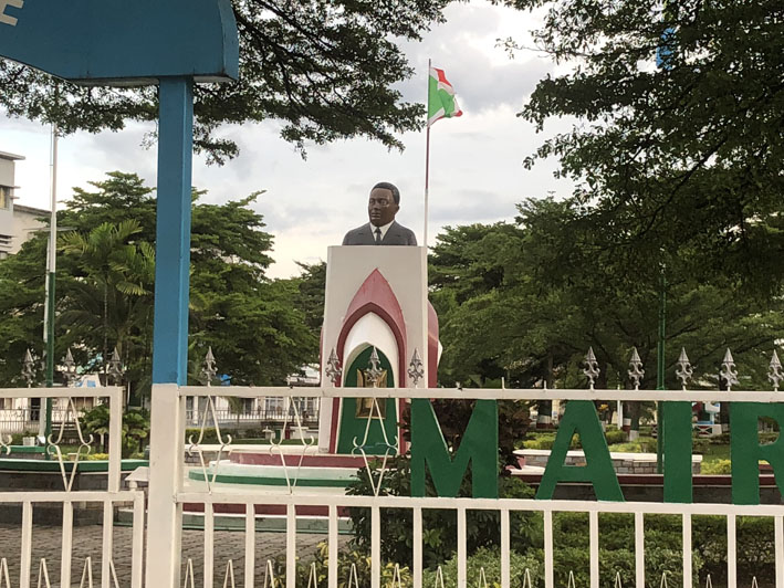
Hargeisa – Addis Ababa – Bujumbura
Flight distance: 1439 nm
Hours in the air: 6.15
Cool and clean nation in Central Africa
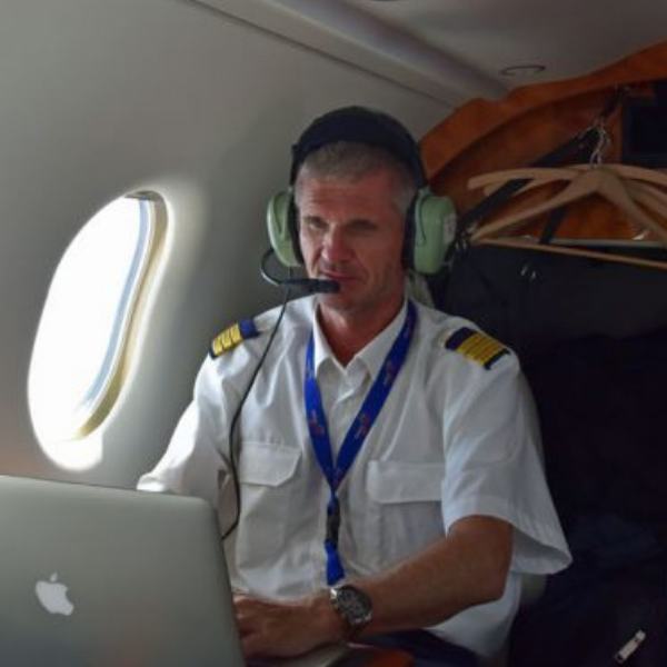
Like almost anywhere on this planet we were reminded again of regional animosities. So the Kenyans don’t have it with the Somalilanders and we (our nice plane) are also still on the “shit list” for the Sudanese air space. All of this had some impact to our goal to get to Bujumbura in Burundi which meant flying to Addis Abeba in Ethiopia first for a fuel stop and on from there to Bujumbura.
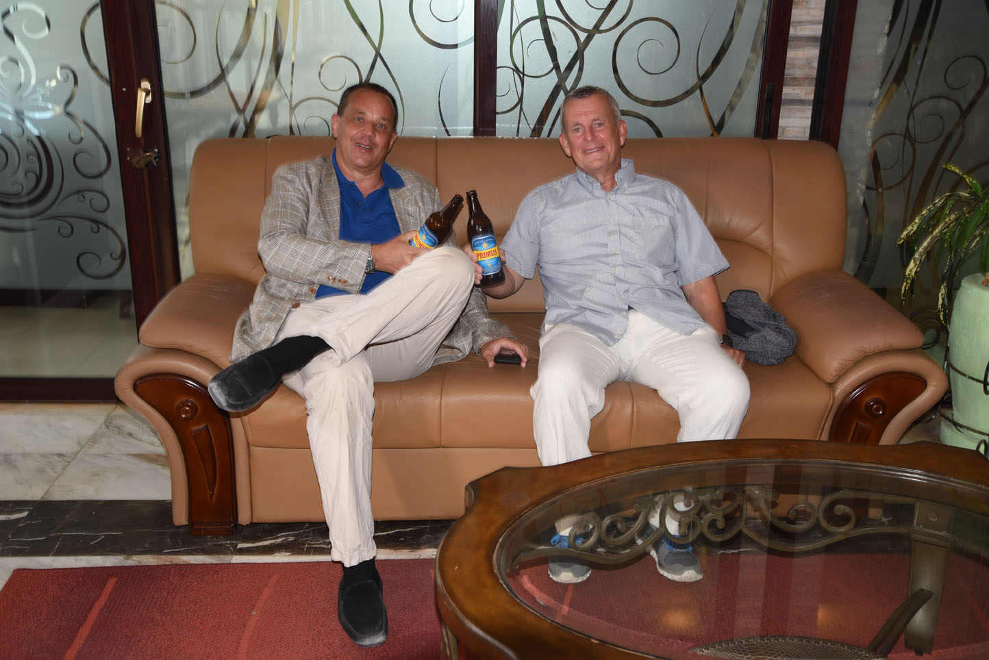
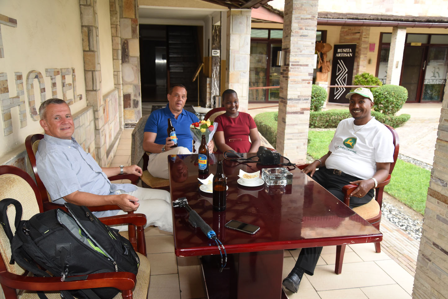
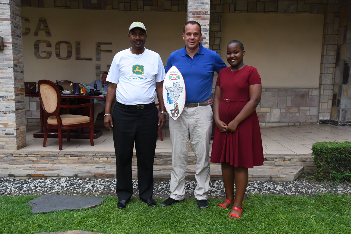
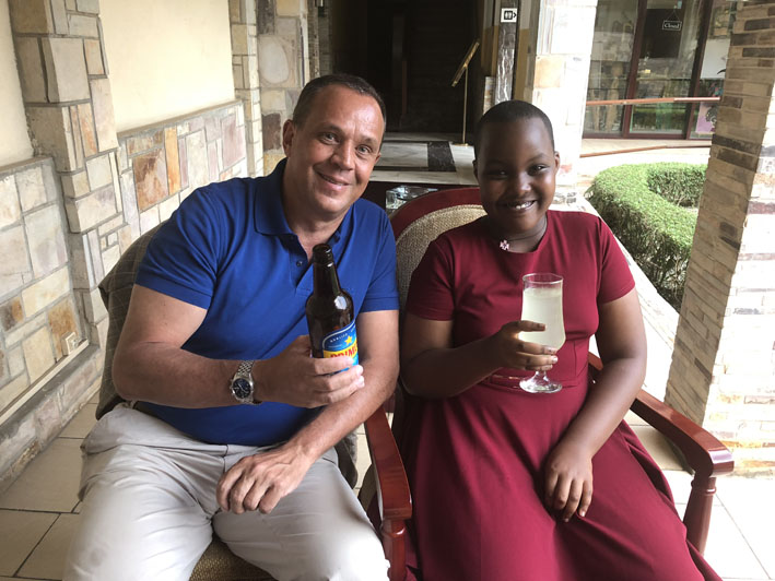
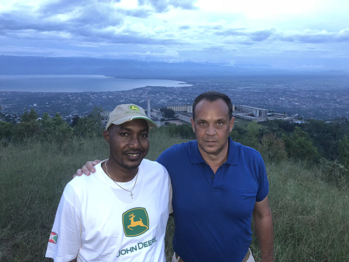
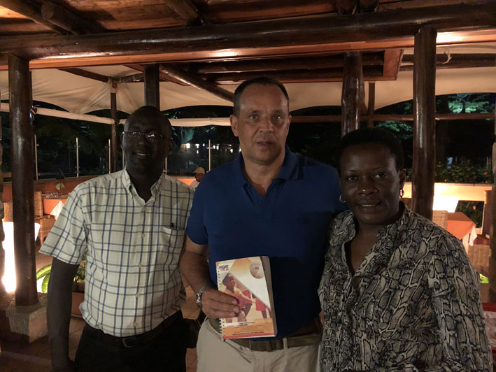
Luckily things went swift in Addis but the longer than anticipated total flying time meant for even later arrival. That was a bit unfortunate as we had a god program planned. Alexis, a local John Deere agent of Lonrho Africa showed us quickly around town and in the evening we met a delegation from “Right to Play” which has been supported by the Frey Charitable Foundation over the last years.
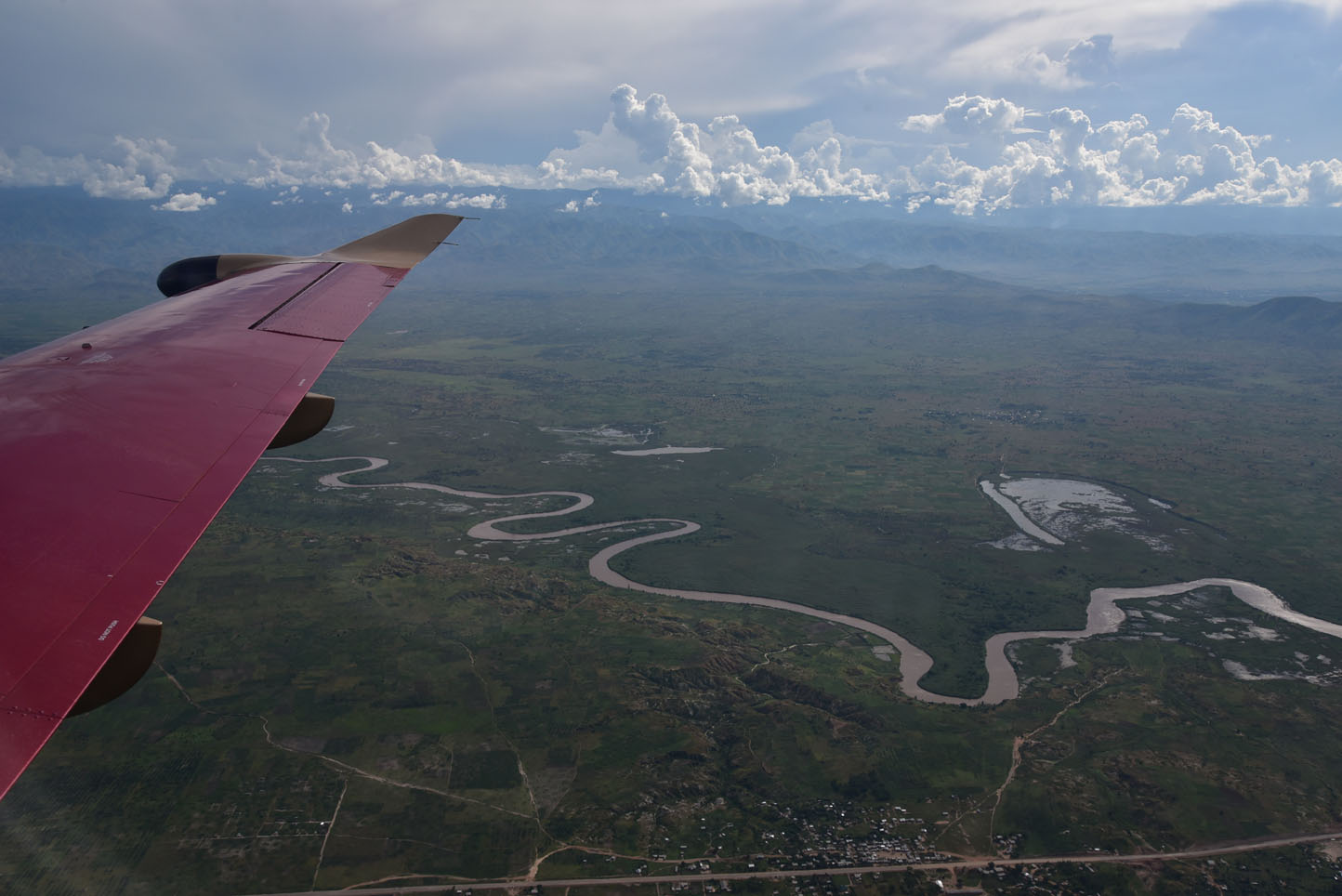
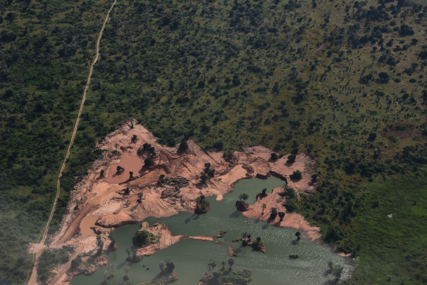
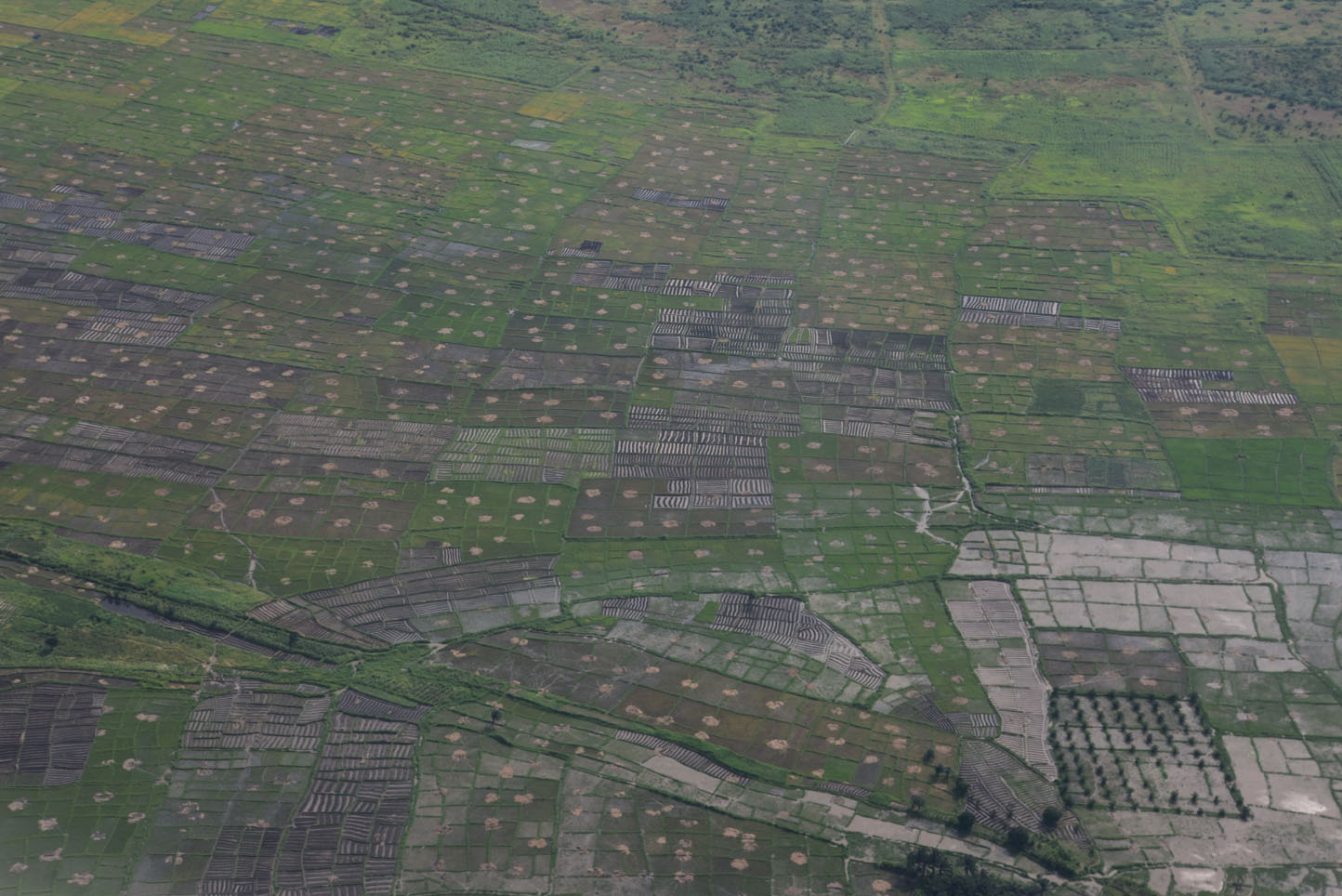
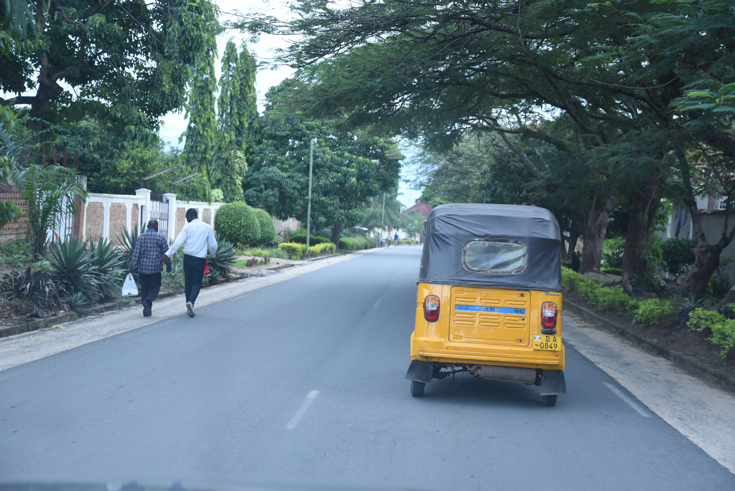
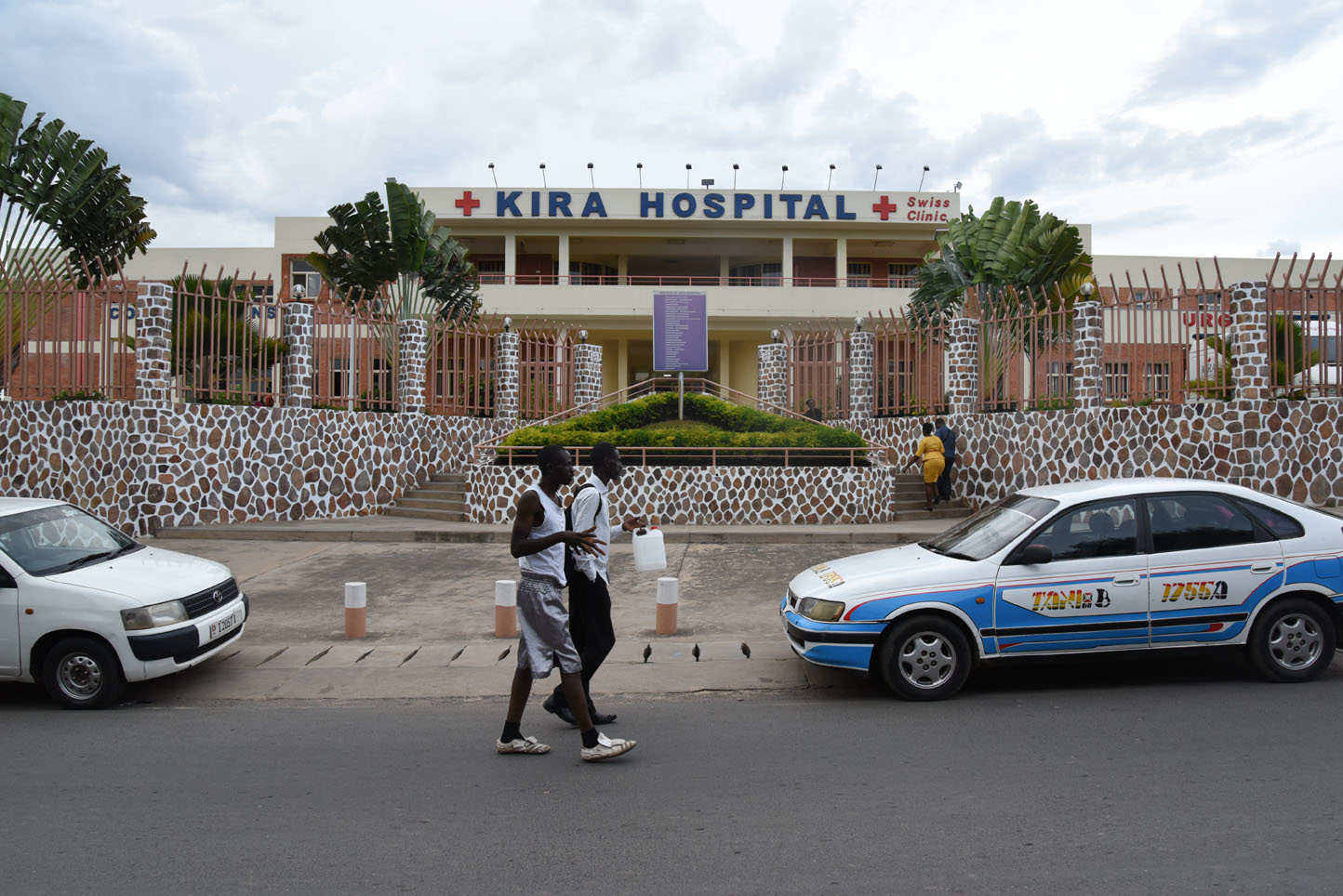
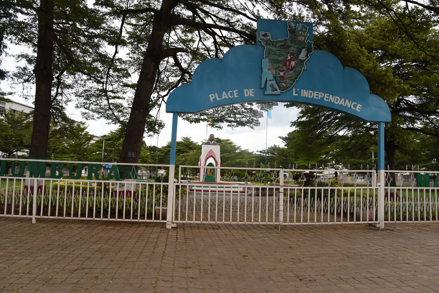
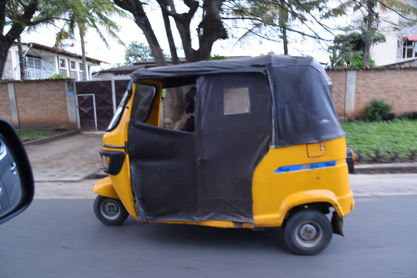
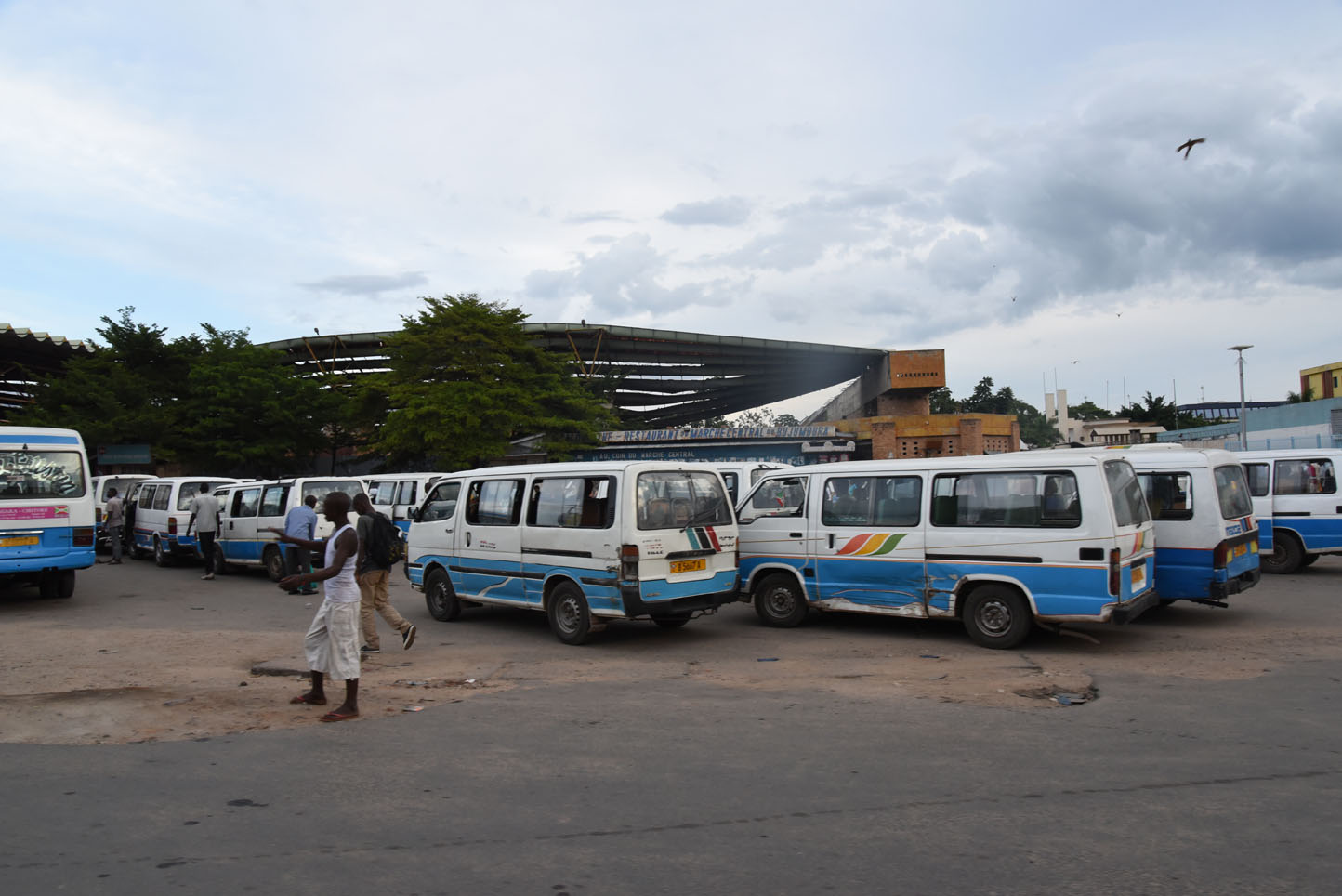
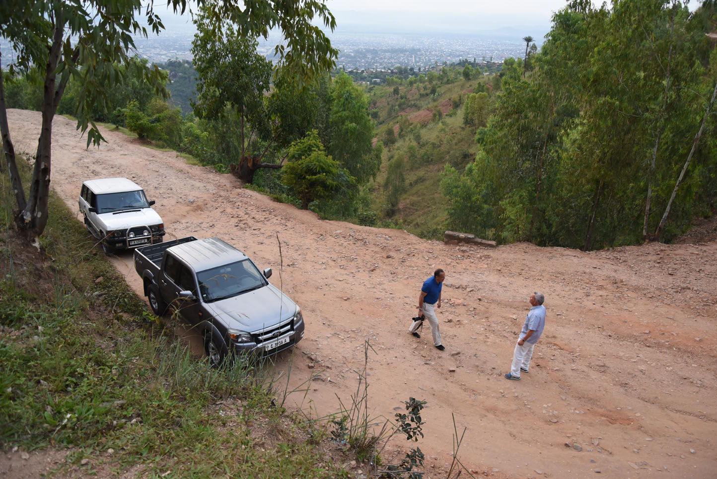
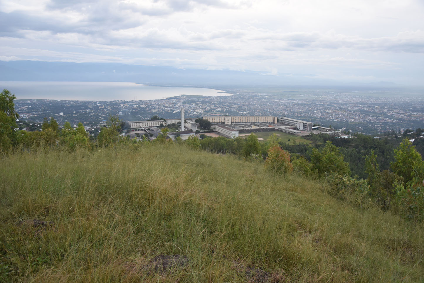
The contrast of what we have experienced and what we were told before could not be bigger. It was clearly advised not to travel to Burundi due to the fragile political and dangerous security situation. In contrary we saw a beautiful, green, clean and friendly nation and its people, come and see for yourself!
Facts & figures
Burundi is a landlocked country in the African Great Lakes region of East Africa, bordered by Rwanda to the north, Tanzania to the east and south, and the Democratic Republic of the Congo to the west. It is also considered part of Central Africa. Burundi’s capital is Bujumbura. With an area of 27,834 km², the country is somewhat smaller than half the size of Croatia.
Burundi has an equatorial climate. The country is a part of the Albertine Rift, the western extension of the East African Rift. The country lies on a rolling plateau in the centre of Africa. The average elevation of the central plateau is 1,707 m, the highest peak, Mount Heha at 2,685 lies to the southeast of the capital, Bujumbura. The source of the Nile River is in Bururi province, and is linked from Lake Victoria to its headwaters via the Ruvyironza River. Lake Victoria is also an important water source, which serves as a fork to the Kagera River. Another major lake is Lake Tanganyika, located in much of Burundi’s southwestern corner.
The Twa, Hutu and Tutsi peoples have lived in Burundi for at least 500 years. For more than 200 of those years, Burundi was an independent kingdom, until the beginning of the 20th century, when Germany colonized the region. After the First World War and Germany’s defeat, it ceded the territory to Belgium. Both Germans and Belgians ruled Burundi and Rwanda as a European colony known as Ruanda-Urundi. Despite common misconceptions, Burundi and Rwanda had never been under common rule until the time of European colonization. Burundi gained independence in 1962 and initially had a monarchy, but a series of assassinations, coups and a general climate of regional instability culminated in the establishment of a republic and one-party state in 1966. Bouts of ethnic cleansing and ultimately two civil wars and genocides during the 1970s and again in the 1990s left the country undeveloped and its population as one of the world’s poorest. 2015 witnessed large-scale political strife as President Pierre Nkurunziza opted to run for a third term in office, a coup attempt failed and the country’s parliamentary and presidential elections were broadly criticized by members of the international community.
Source: wikipedia.org / nationsonline.org