Transafrica 2018 STOP 12
May 16, 2018
Lomé – Accra
Flight distance: 106 nm
Hours in the air: 0.36
The Gold Coast of West Africa
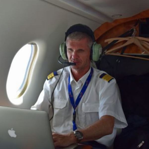
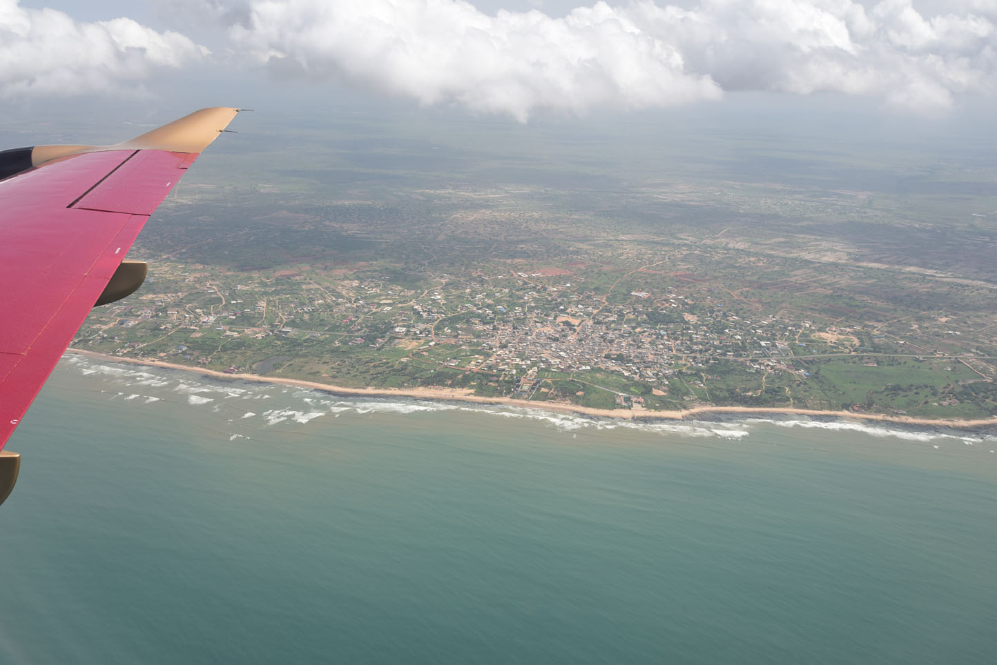
Having reached West Africa means short flights from now on until flying back to Europe. This one took us over the Gold Coast of former British Togoland, now Ghana. We got special permission again for a vista flight.
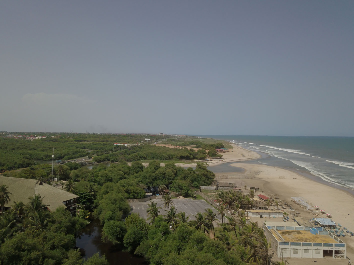
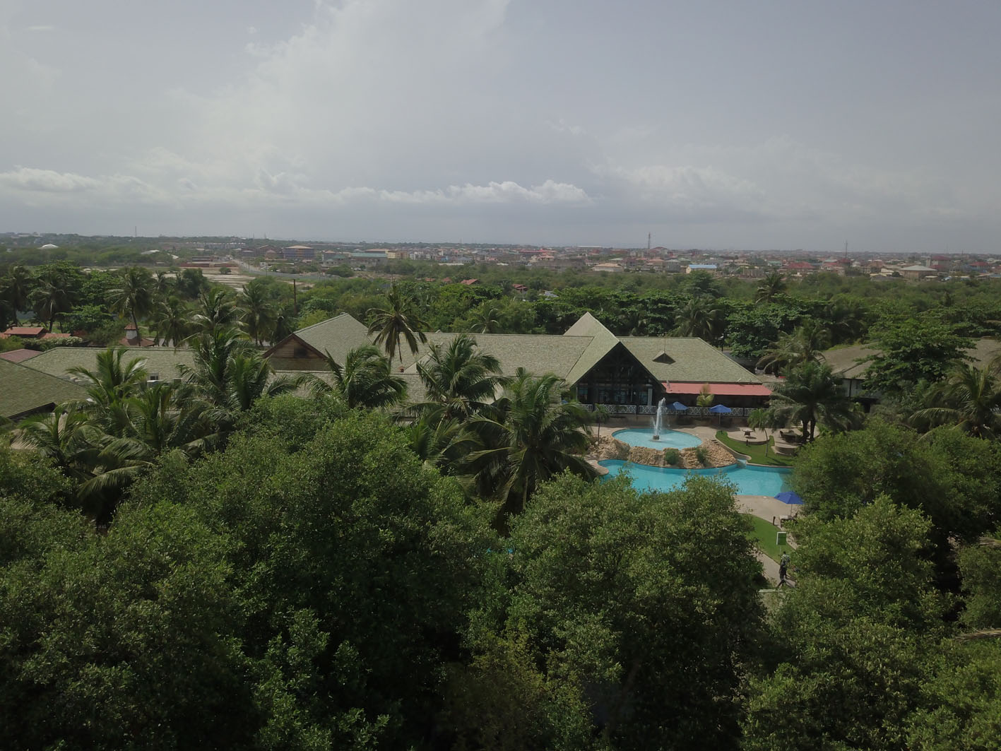
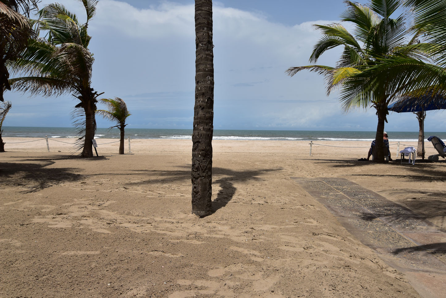
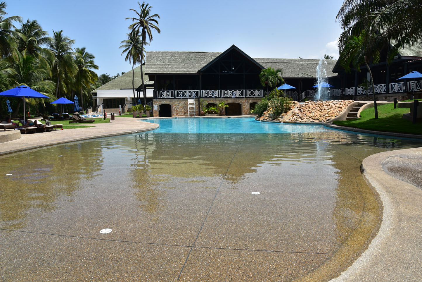
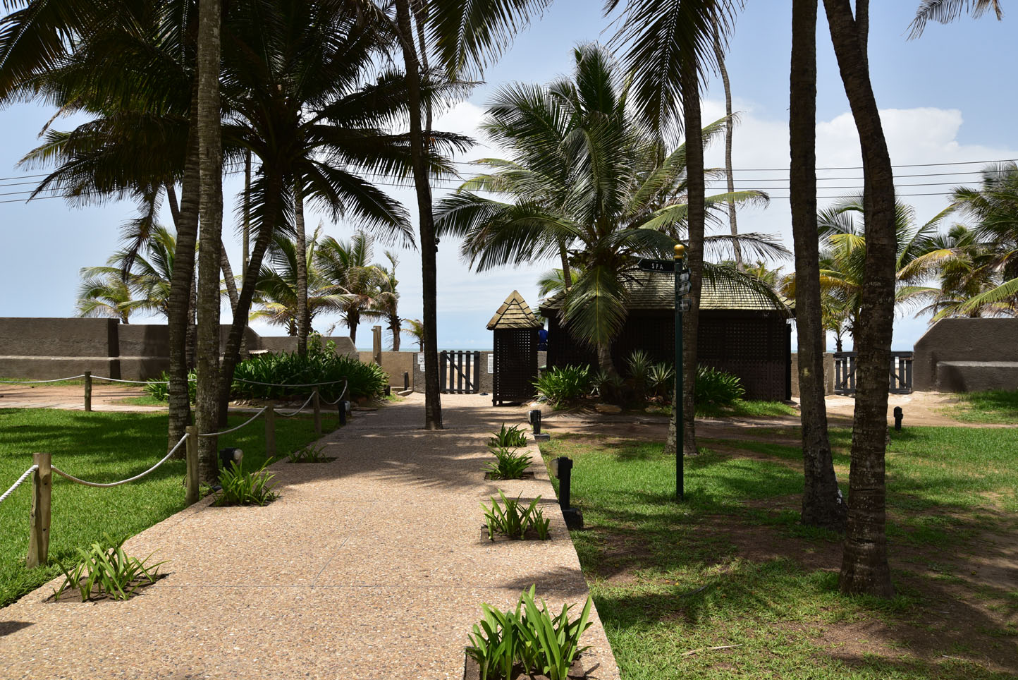
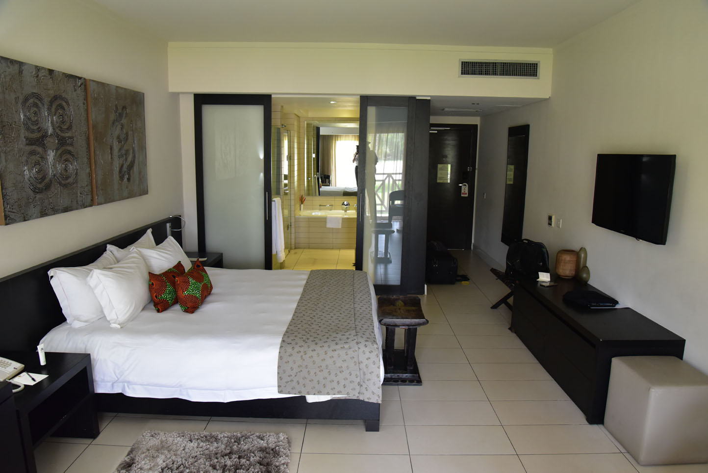
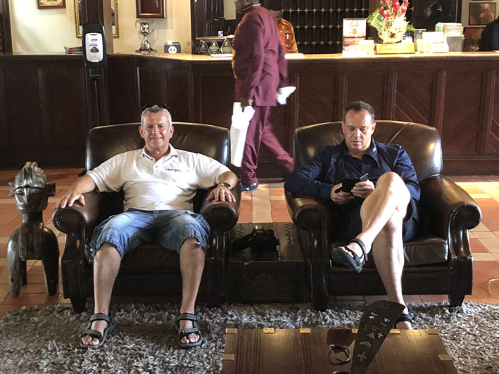
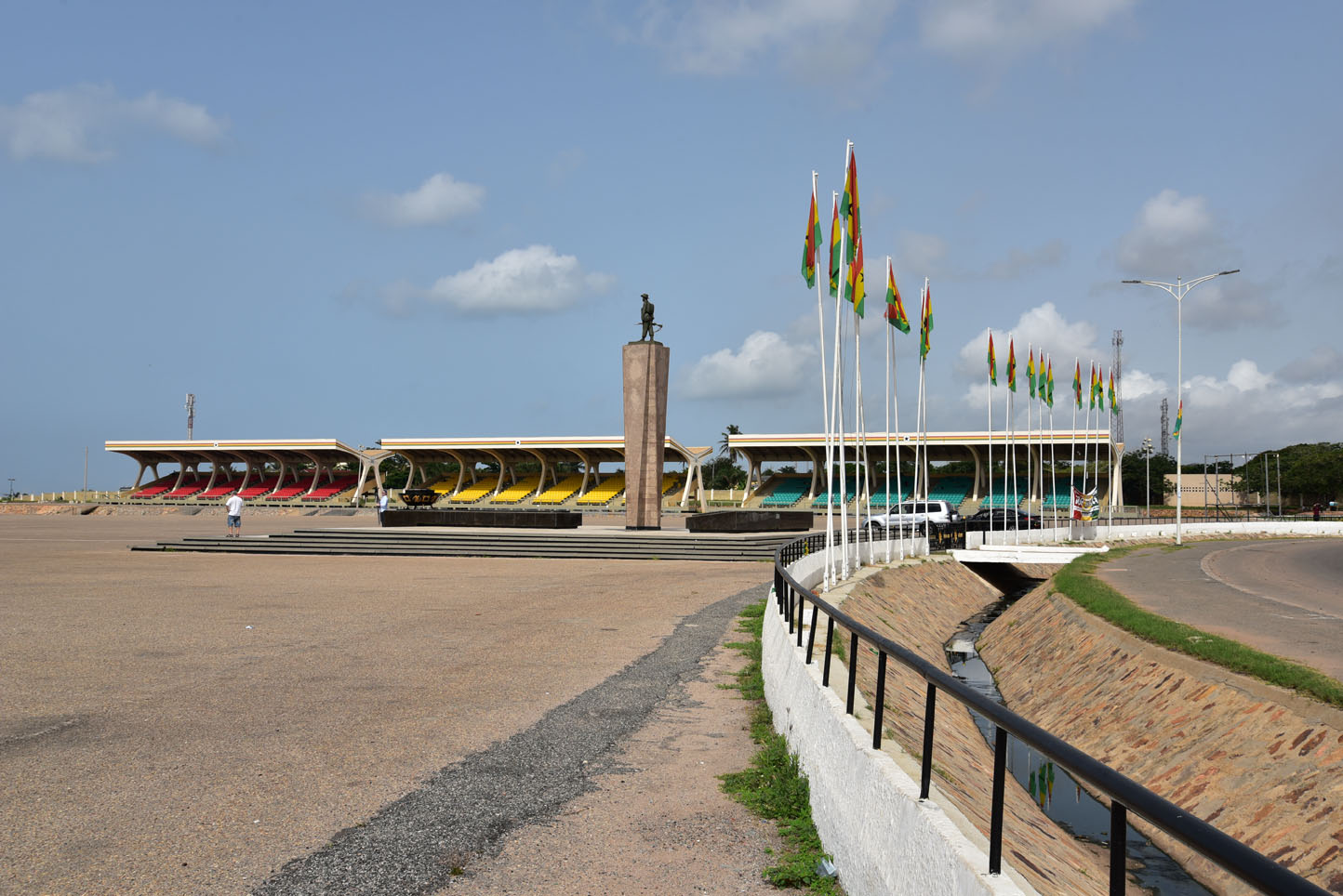
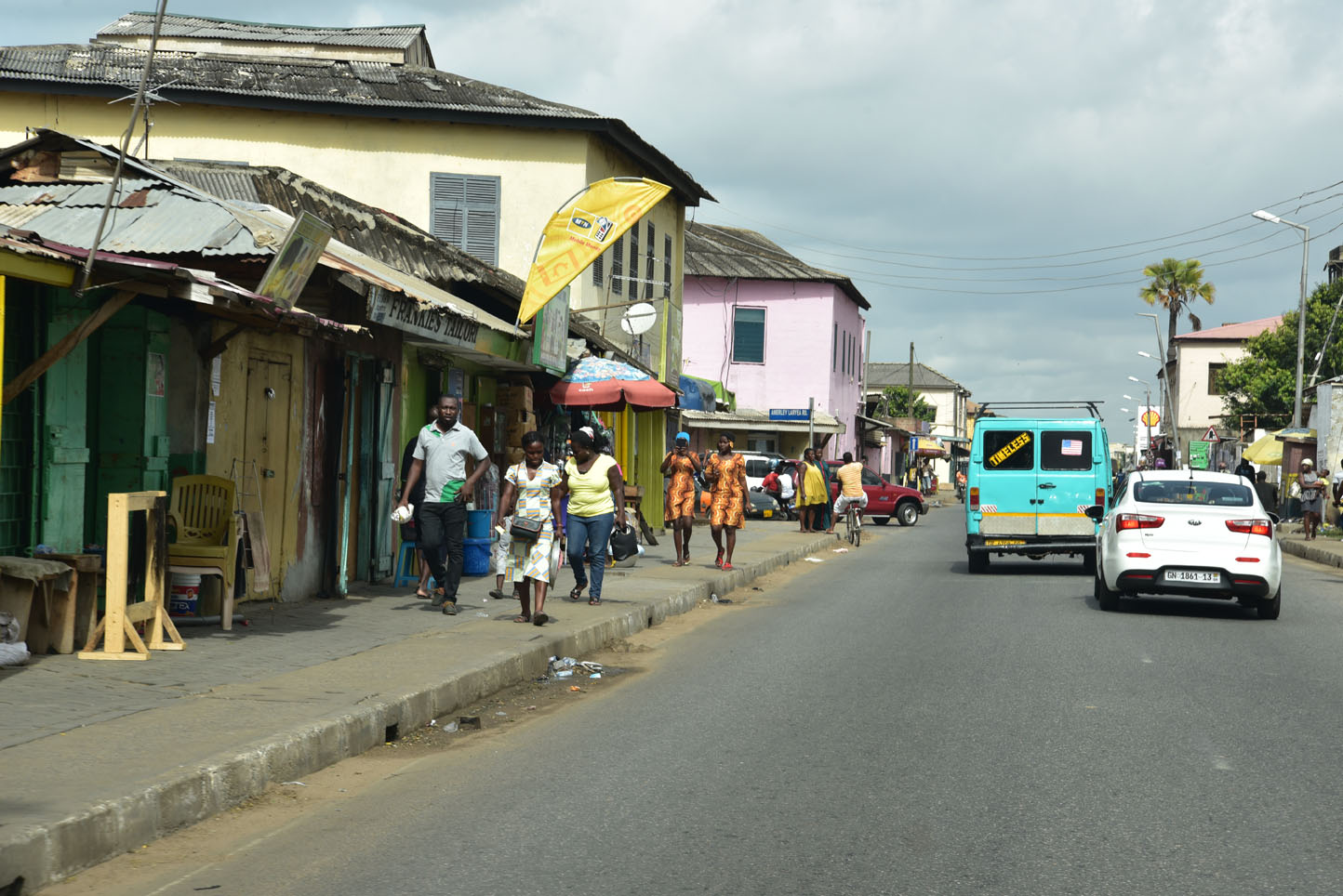
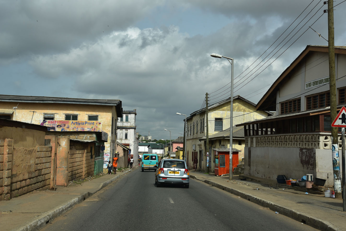
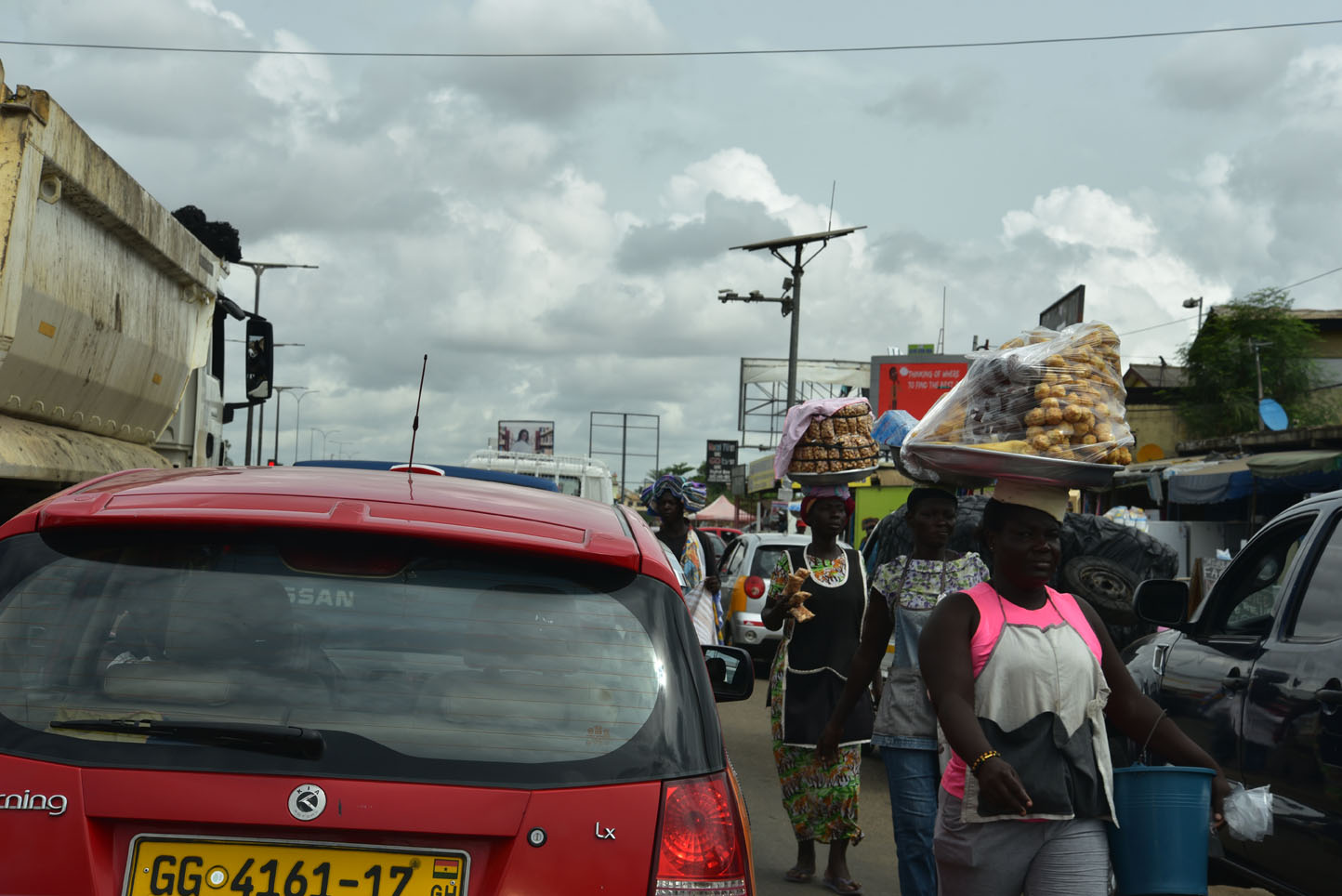
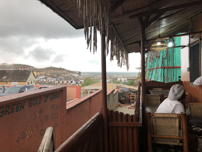
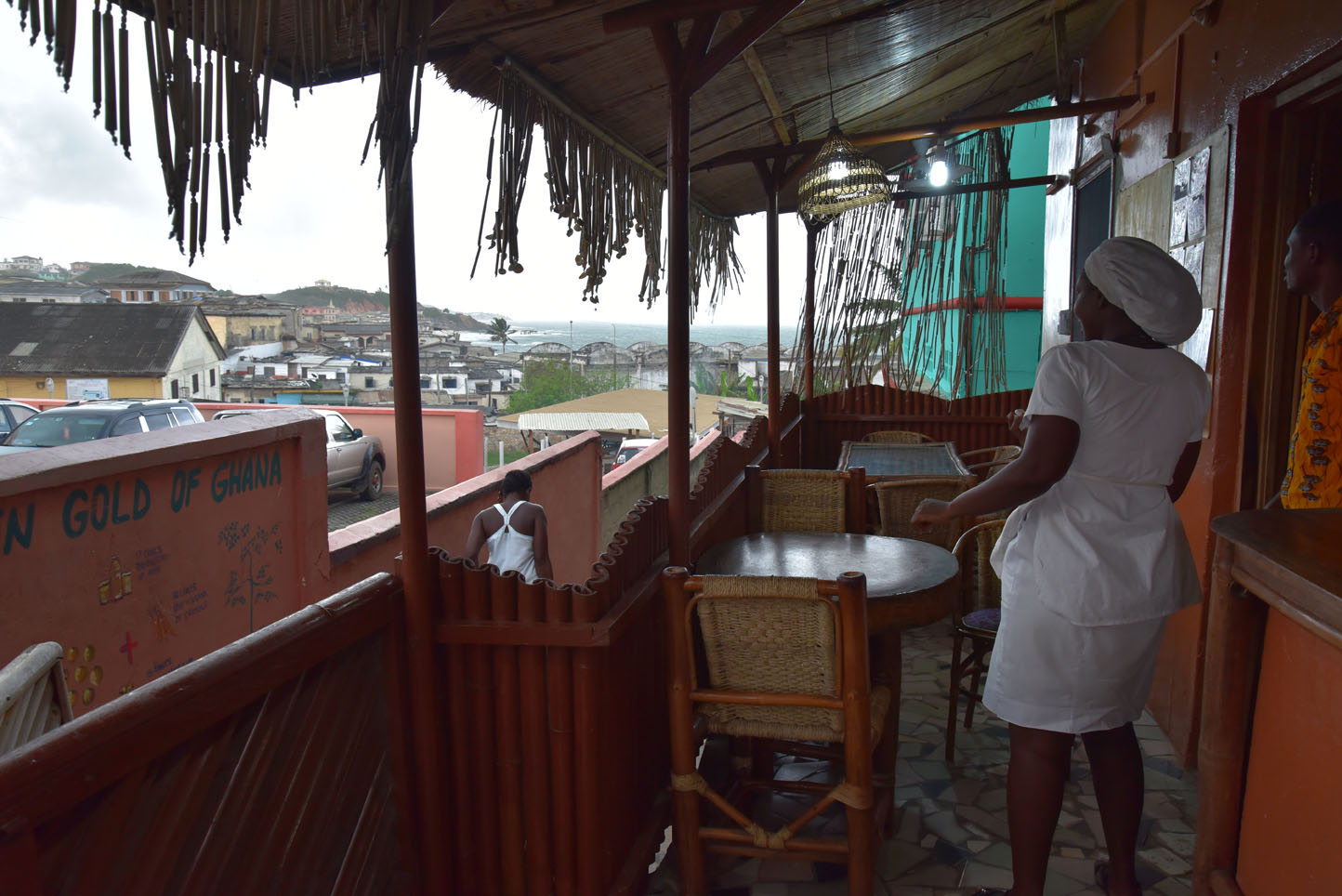
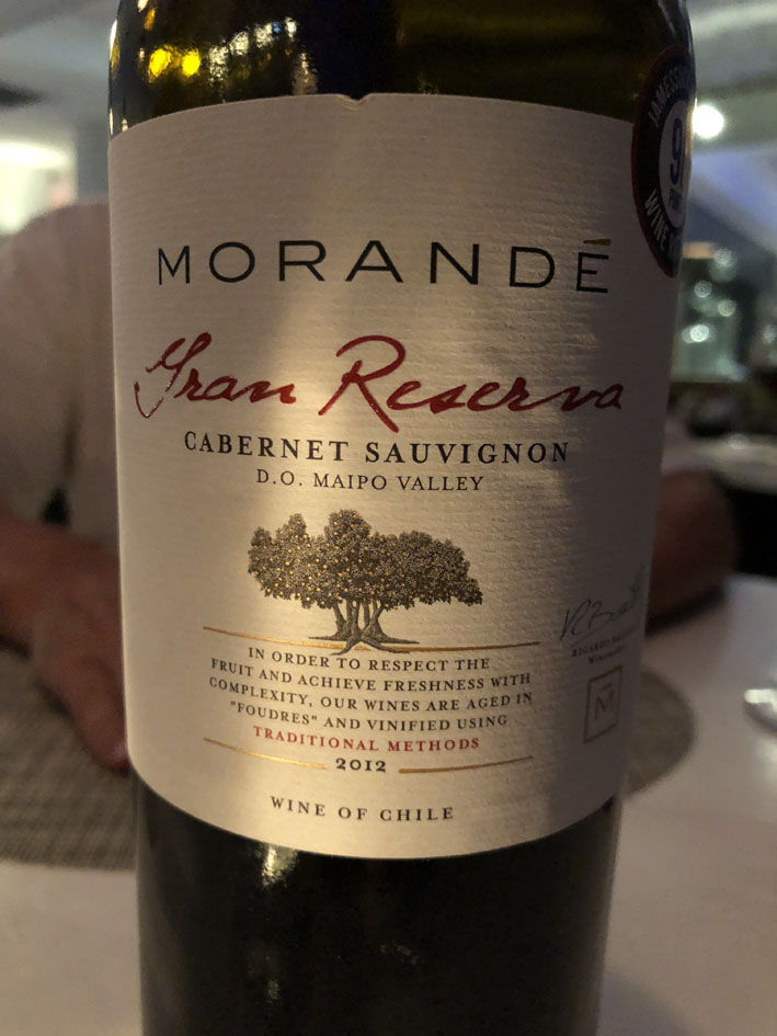
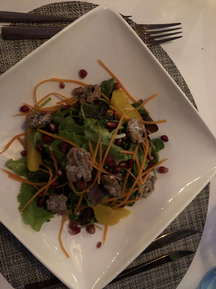
Once one the ground handling was super fast and fuel already waiting for us even though we did not need any. The first impression was positive, the country certainly seems more developed than Togo which one noticed right away by the very good roads. The weather is hot and humid and after a day on the road in Nigeria we decided to take the afternoon off especially since we were staying at a nice beach hotel, followed by a great dinner in town.
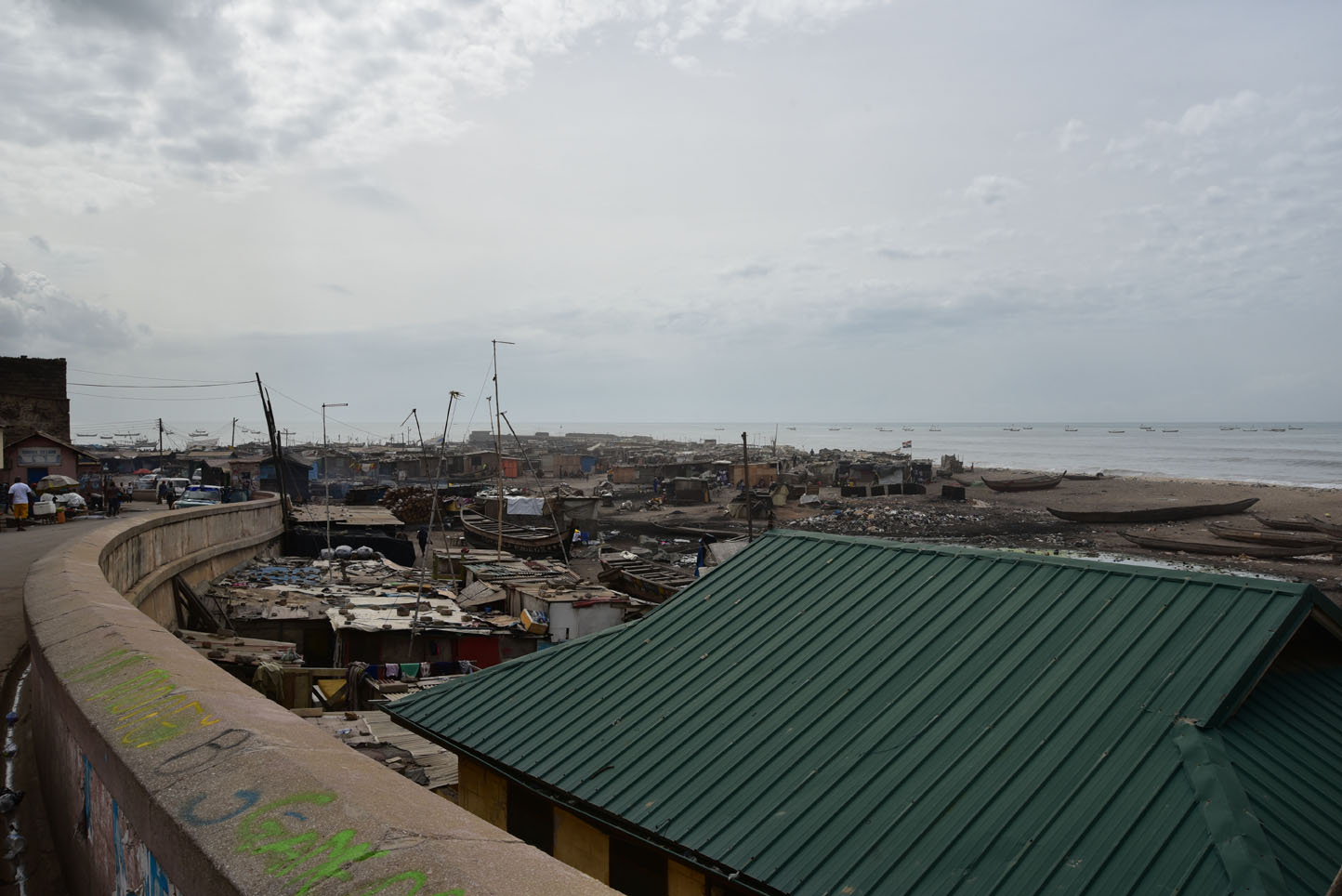
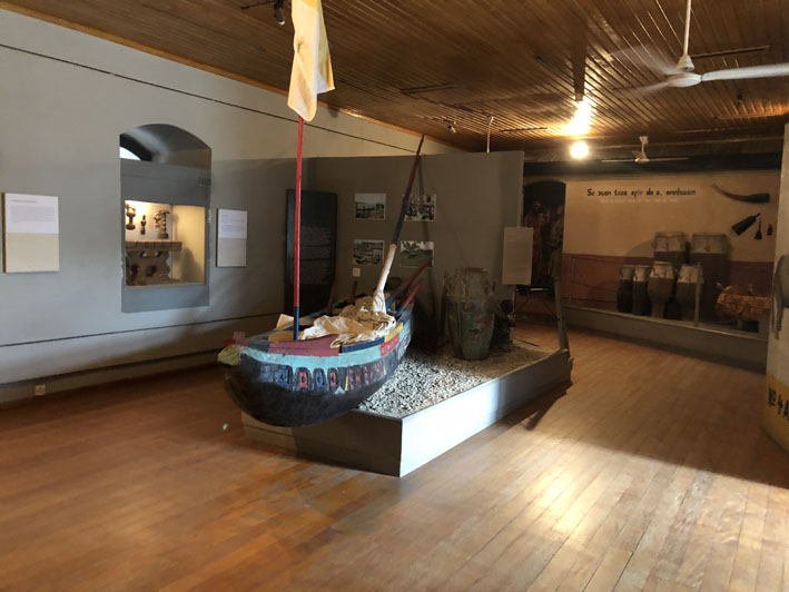
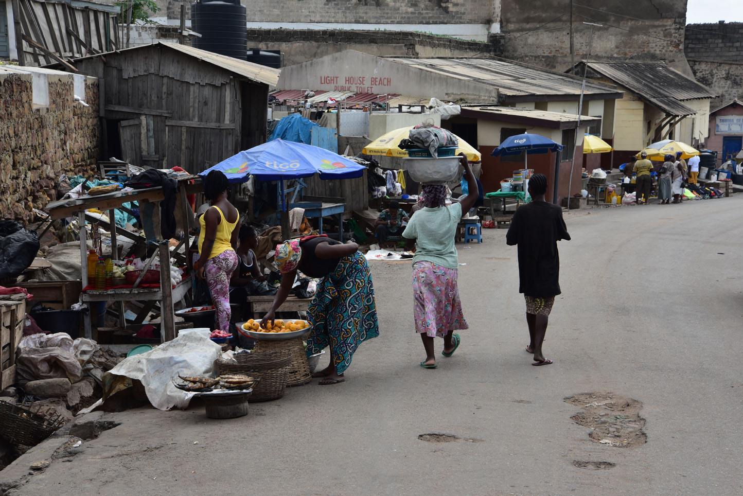
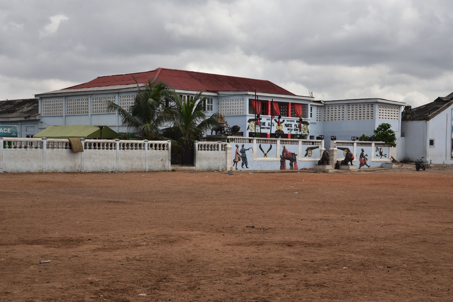
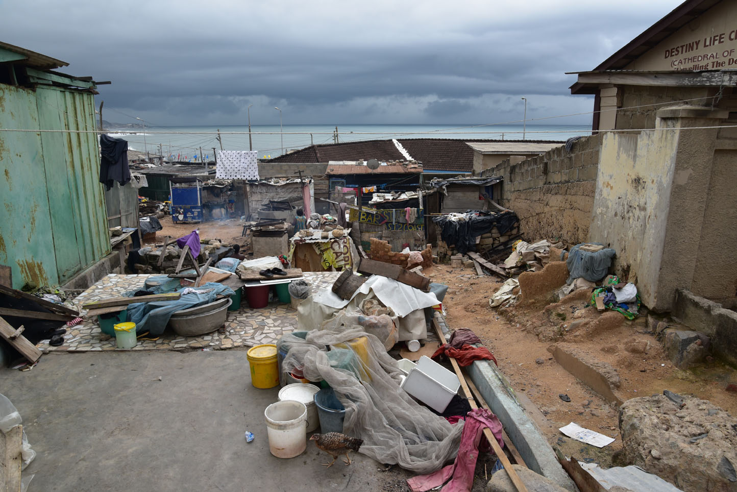
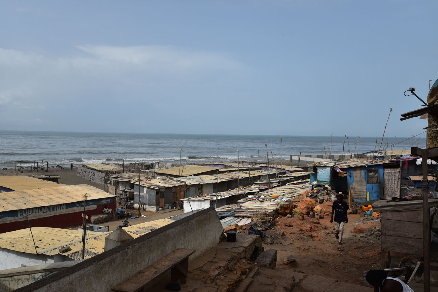
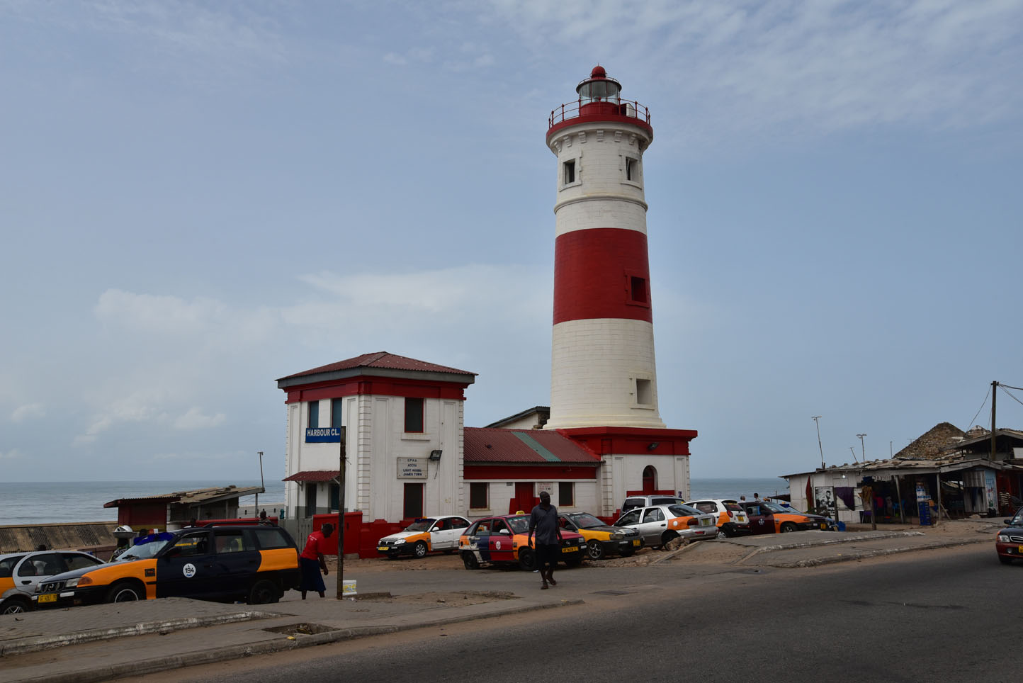
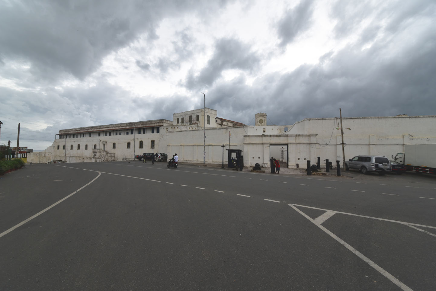
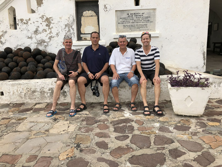
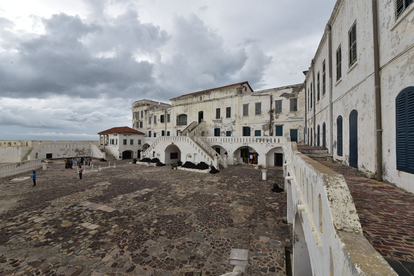
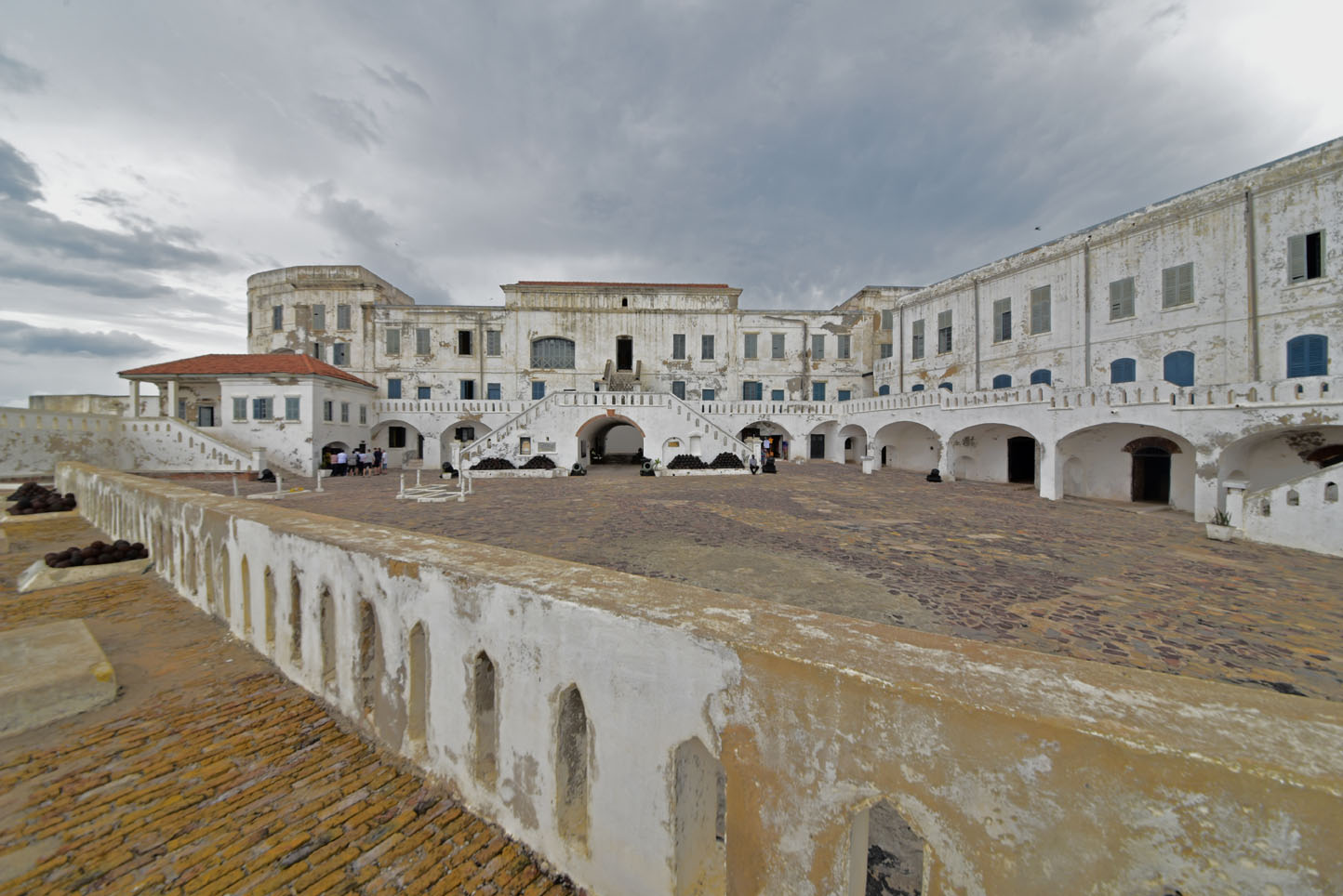
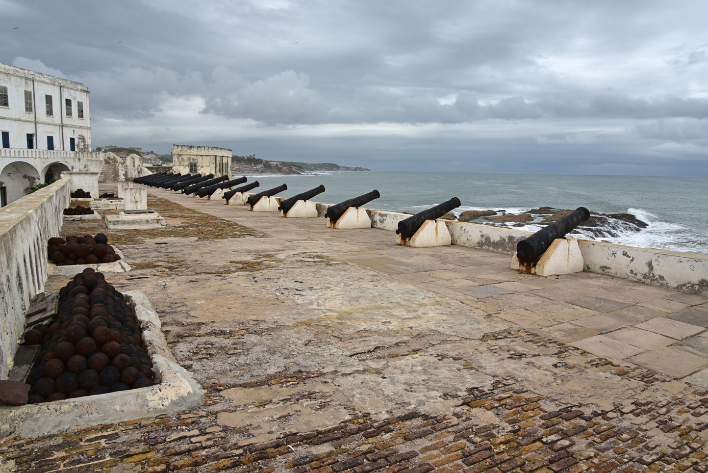
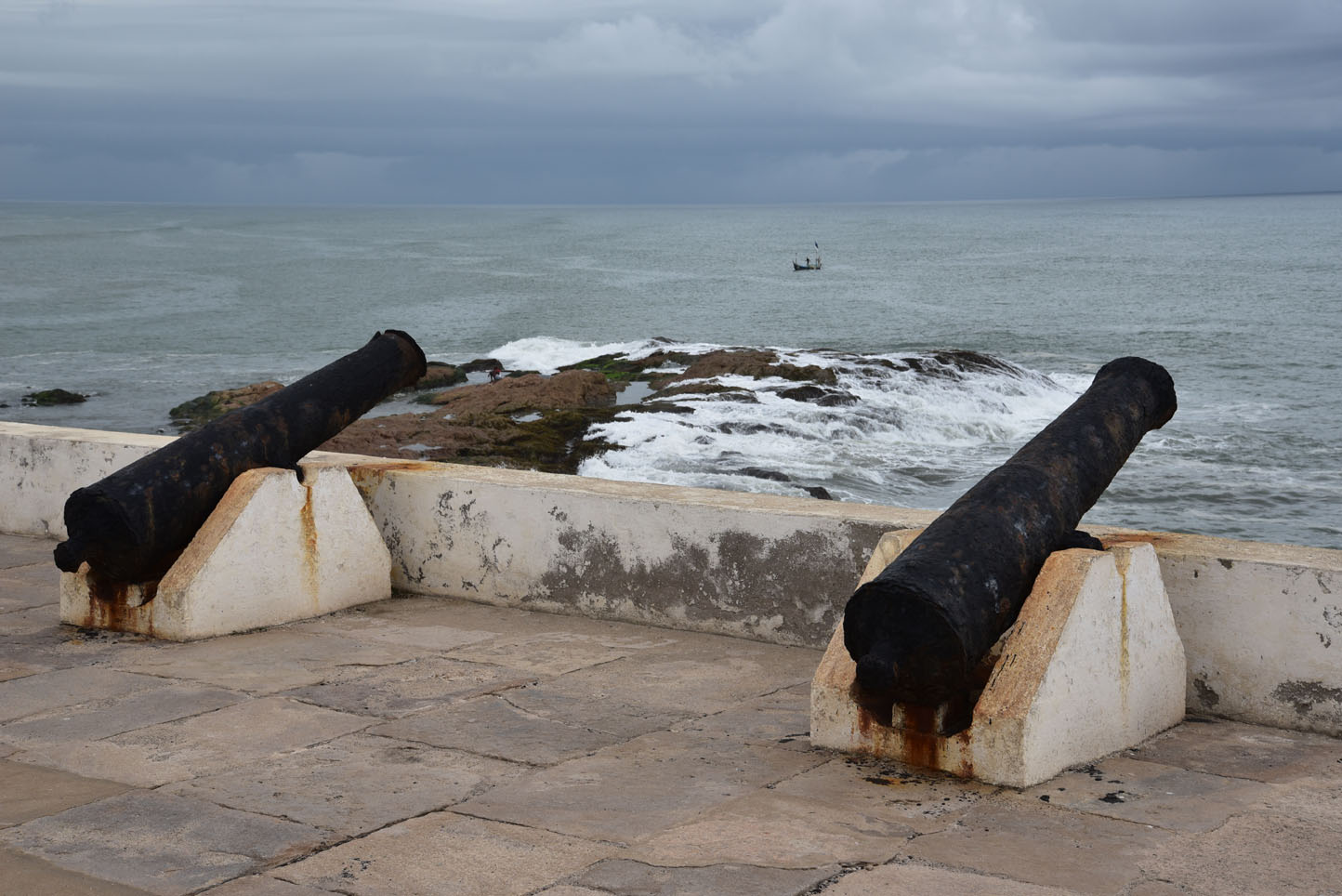
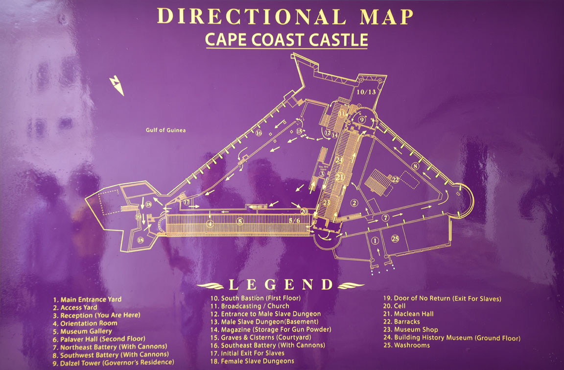
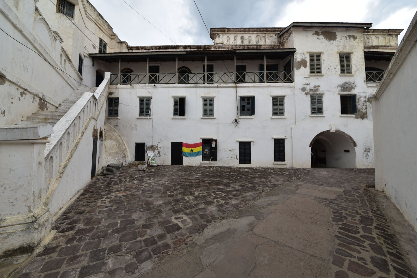
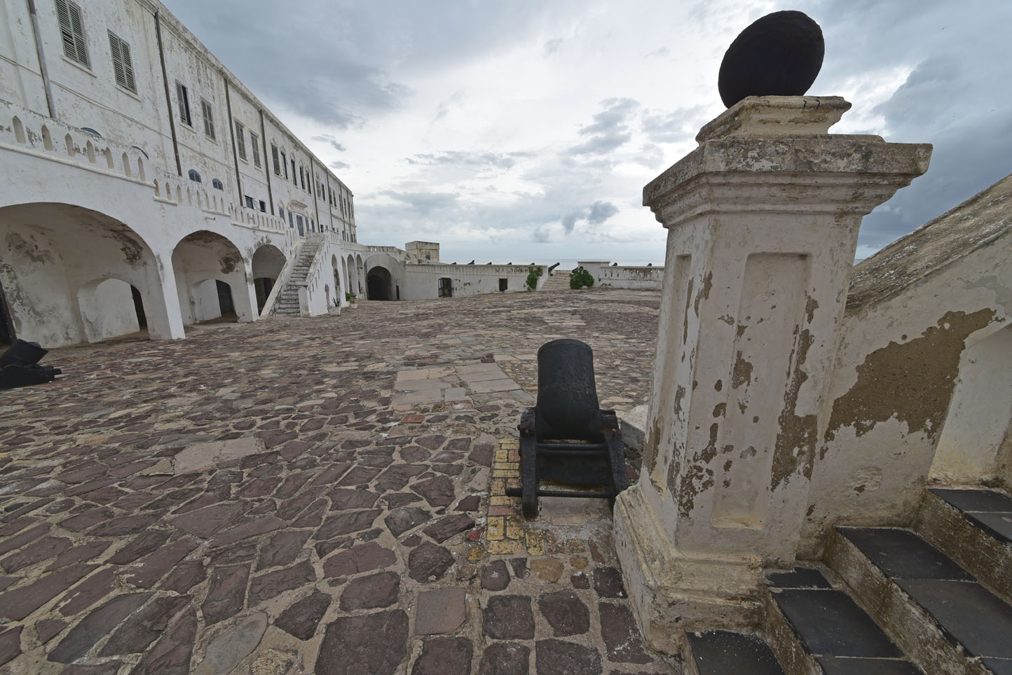
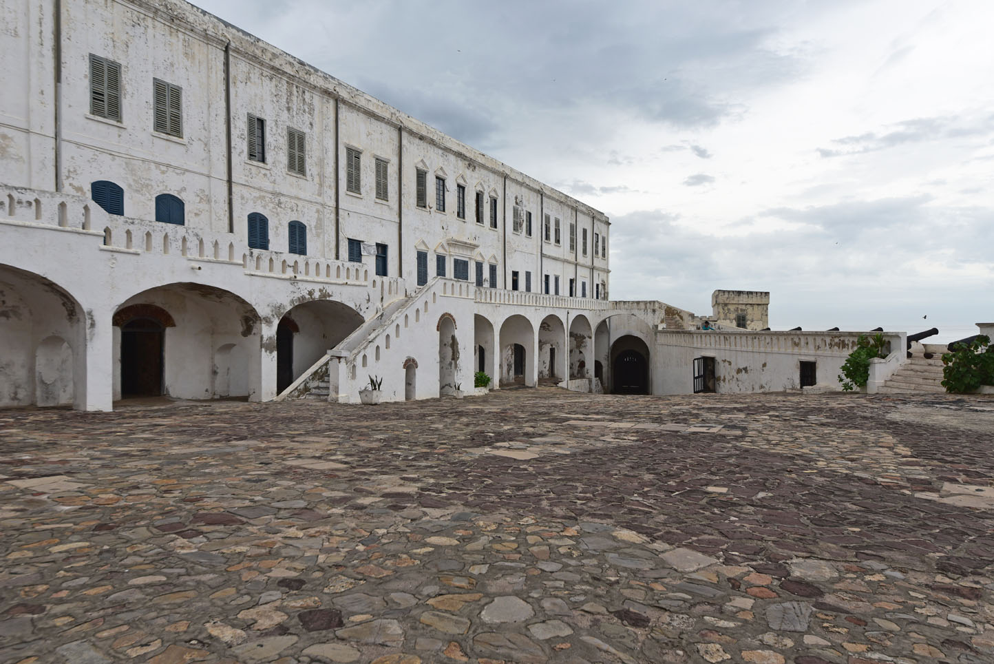
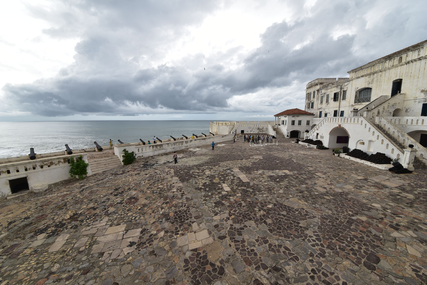
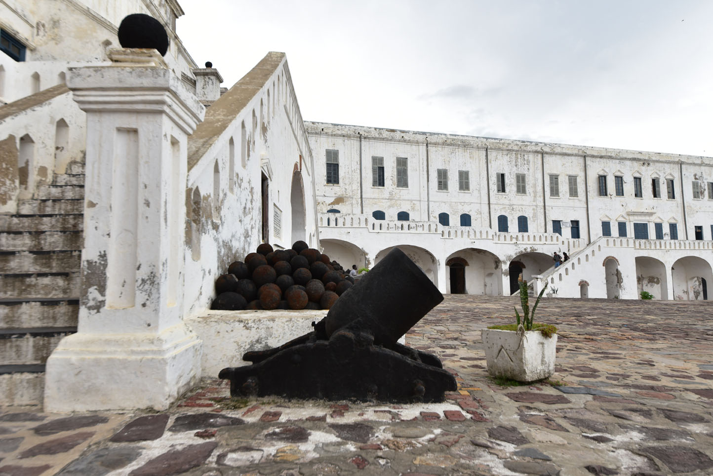
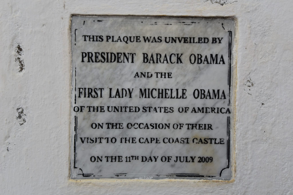
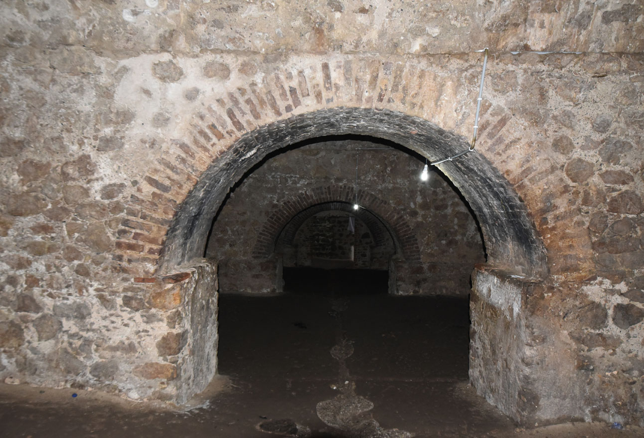
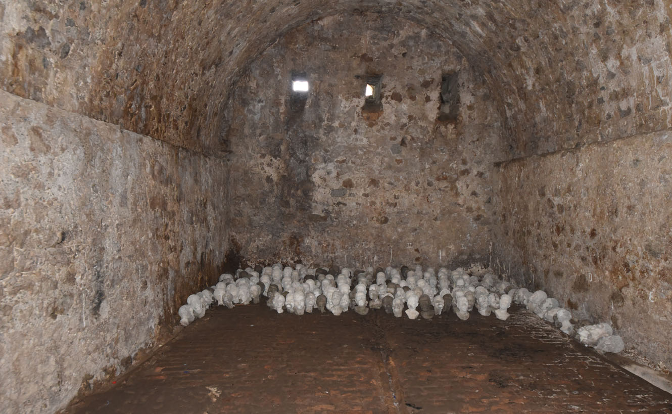
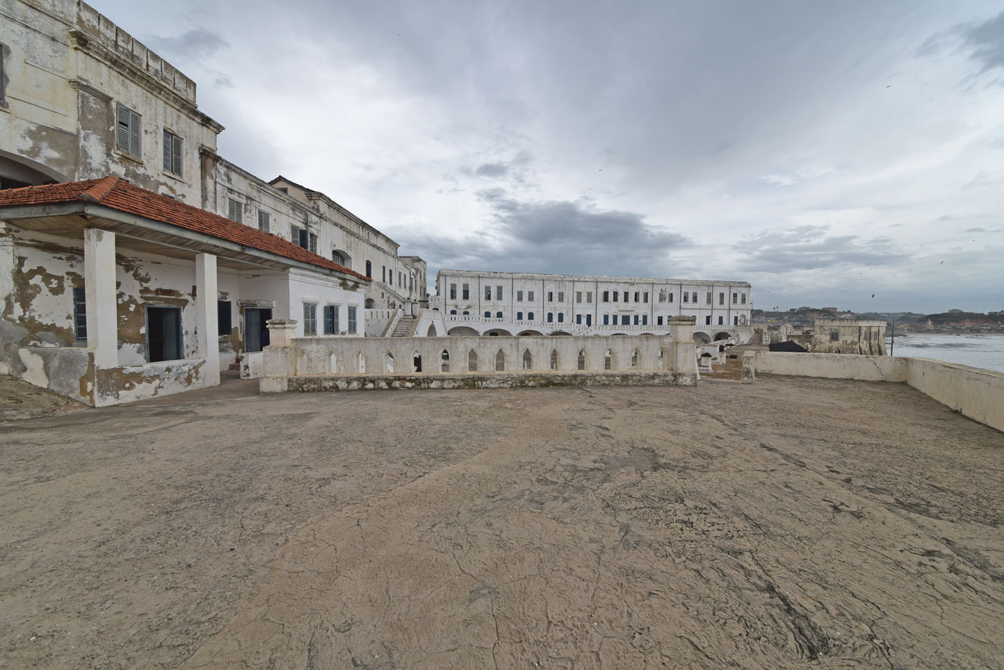
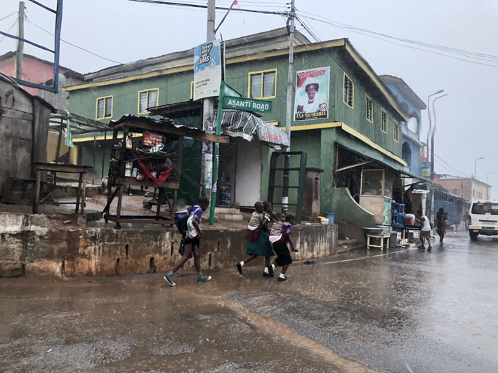
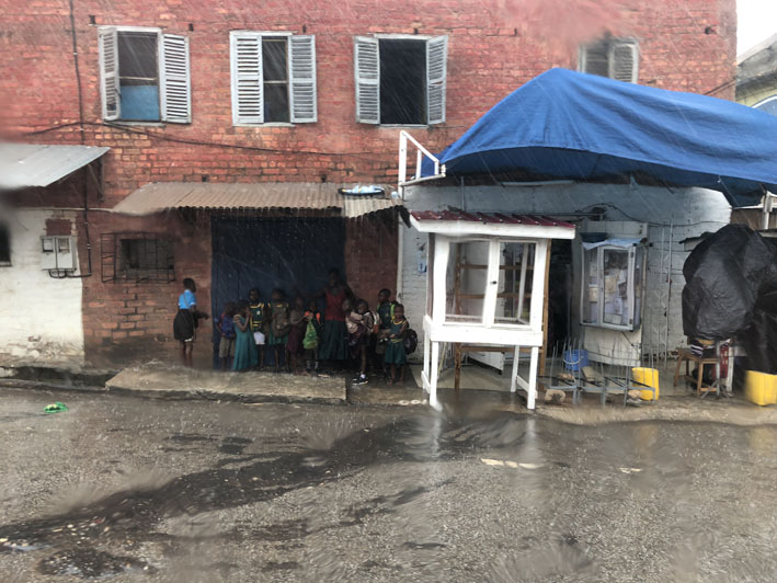
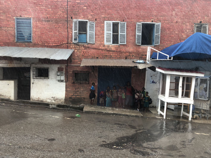
The second day was a bit rough. We knew it was going to be a long ride along the coast to Cape Coast Castle, a slave trade monument. We first visited Jamestown where the British traders started the colony building warehouses; everything is run down now unfortunately these days. Then further on through strong traffic just leaving Accra and then got into heavy rains until we finally arrived. The site is very impressive and the daring weather reflected what was happening here from the 1500s until about 1870. The castle itself is not in the best condition either. That’s a shame as it is probably the most important site of the enormous slave trade which brought anywhere from 12 to 25 million to the new world, a good part from this very location. We had to return to the hotel right afterwards since we could not find any acceptable food and more heavy rains including strong winds hit us again. We ended up spending over 8 hours in the car, another way of seeing the country!
Facts & figures
Formerly known as the Gold Coast, a country in western Africa just north of the Equator. Situated between Cote d’Ivoire and Togo, and bordered by Burkina Faso in north and by the Gulf of Guinea (Atlantic Ocean) in south. The country covers an area of 238,533 km², making it slightly smaller than the UK. Ghana’s terrain offers mostly low plains with some scattered hills criss-crossed by rivers, and there is Lake Volta, the world’s largest artificial lake. Mount Afadja (or Mount Afadjato) is Ghana’s highest peak with just 885 m (2,904 ft).
The hill is located in the Agumatsa Range. Main rivers are the Black Volta, the Red Volta and the White Volta, they merge into one river Volta, which has been dammed at Akosombo to form Lake Volta, the world’s largest artificial lake.
Ghana’s population of almost 28.3 million inhabitants (in 2016) is divided into some 75 ethnic groups. The most densely populated parts of the country are the coastal areas, the Ashanti region around Kumasi, the Ashanti capital. Capital and largest city is Accra. Spoken languages are English (official), and Akan (Twi–Fante), and about seventy more West African languages.
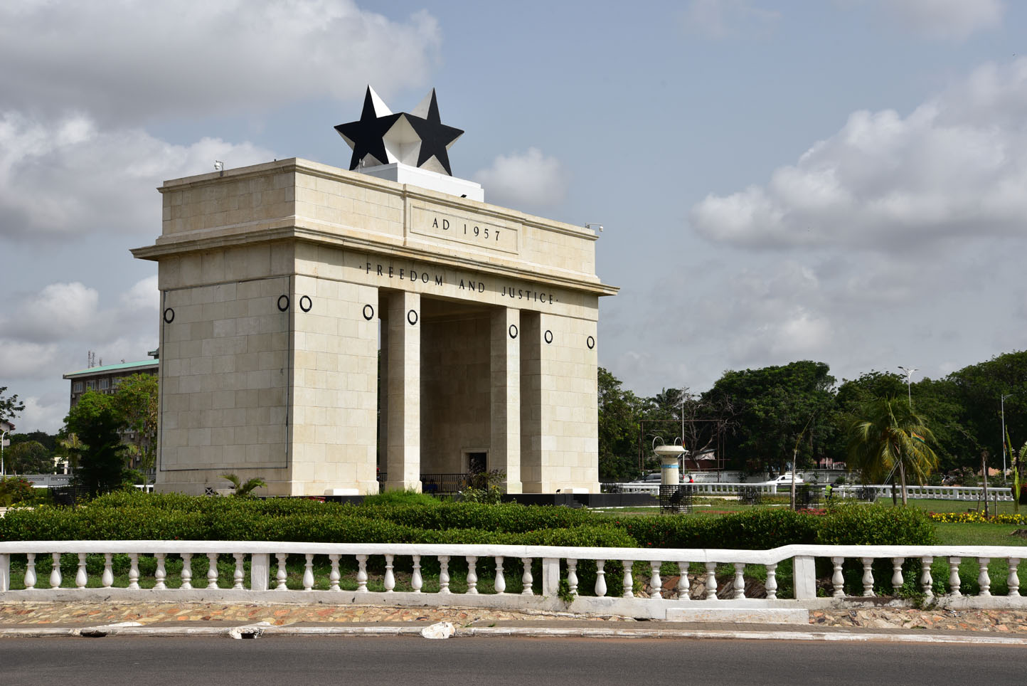
The first permanent state in the territory of present-day Ghana dates back to the 11th century. Numerous kingdoms and empires emerged over the centuries, of which the most powerful was the Kingdom of Ashanti. Beginning in the 15th century, numerous European powers contested the area for trading rights, with the British ultimately establishing control of the coast by the late 19th century. Following over a century of native resistance, Ghana in 1957 became the first sub-Saharan country in colonial Africa to gain its independence.
A long series of coups resulted in the suspension of the constitution in 1981 and a ban on political parties. A new constitution, restoring multiparty politics, was approved in 1992.
Source: wikipedia.org / nationsonline.org