Transafrica 2018 STOP 10
May 13, 2018
N’Djamena – Lagos
Flight distance: 784 nm
Hours in the air: 3.30
Africas giant
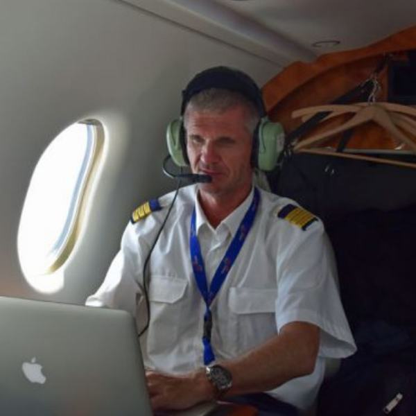
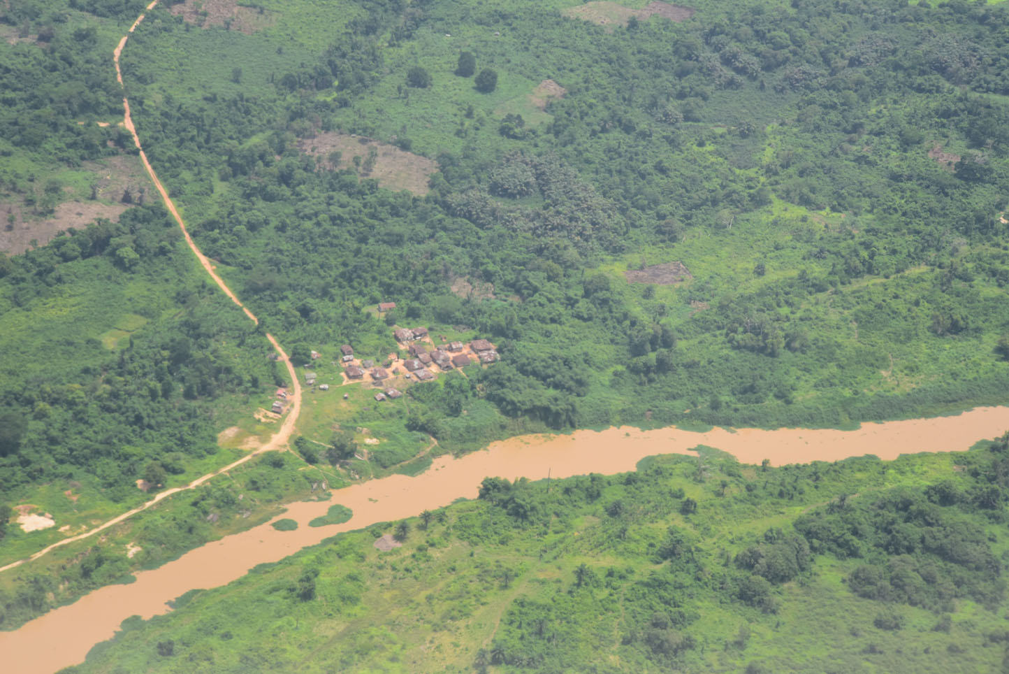
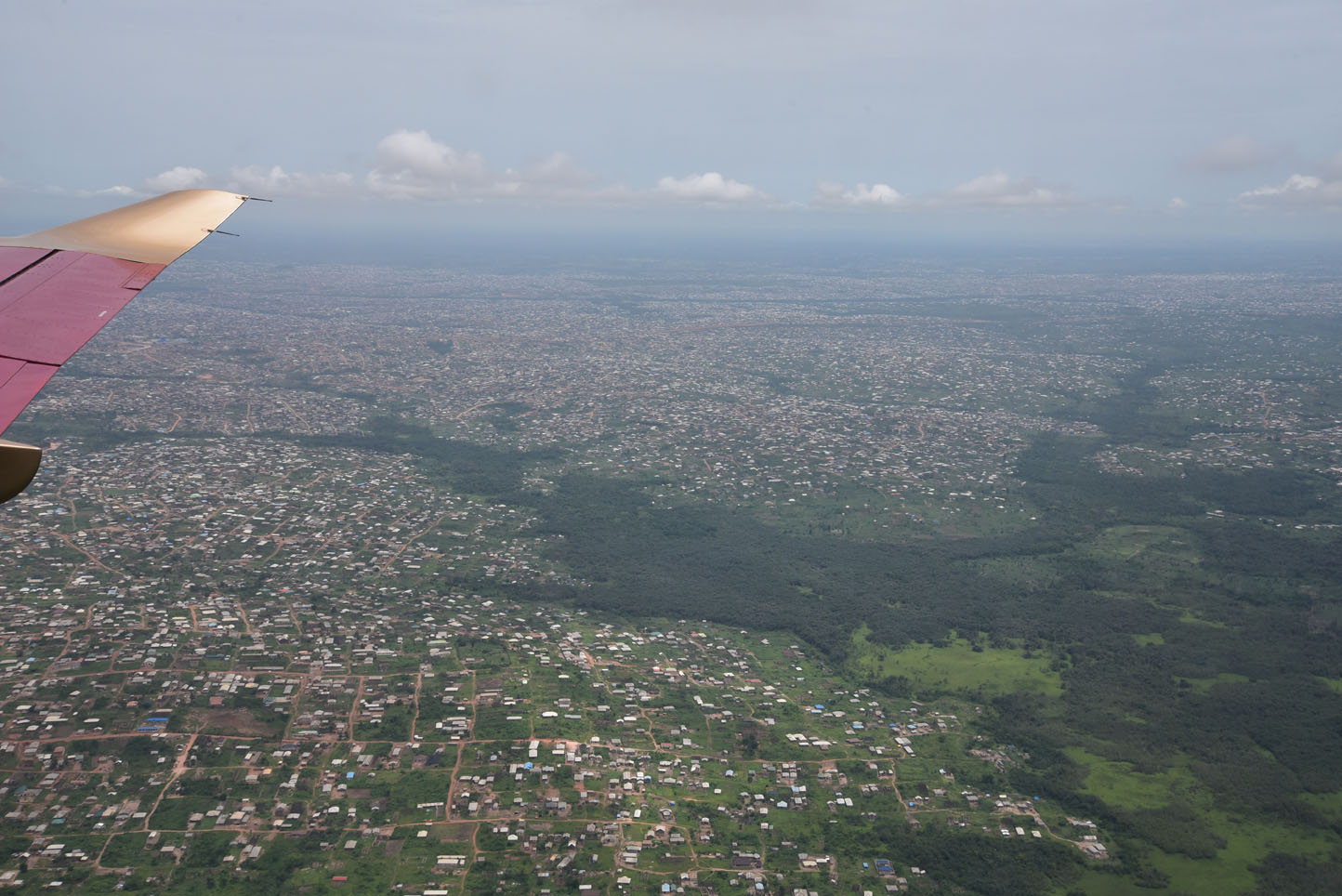
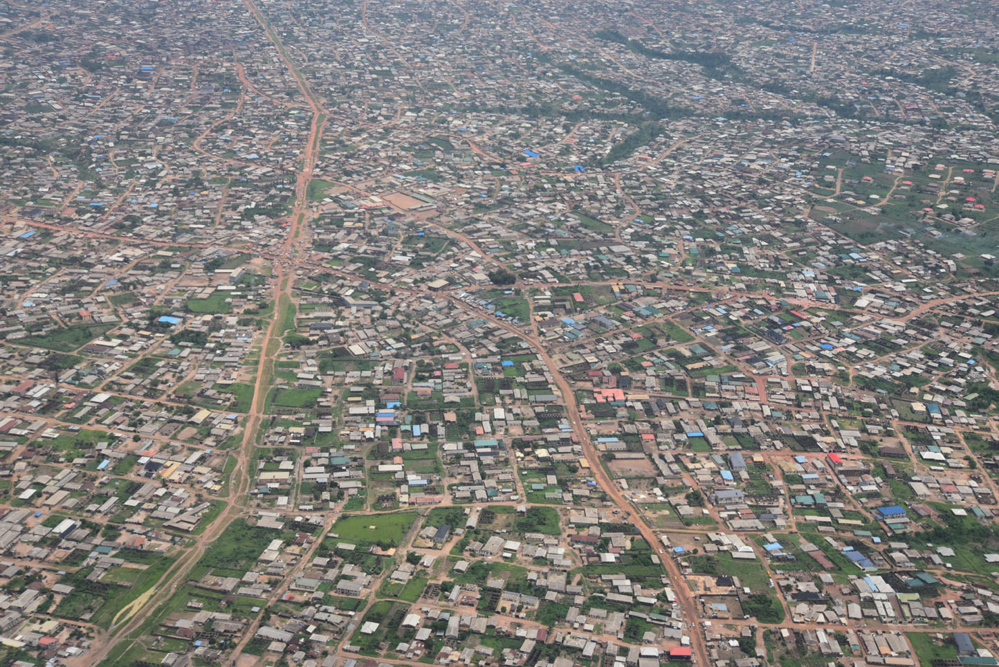
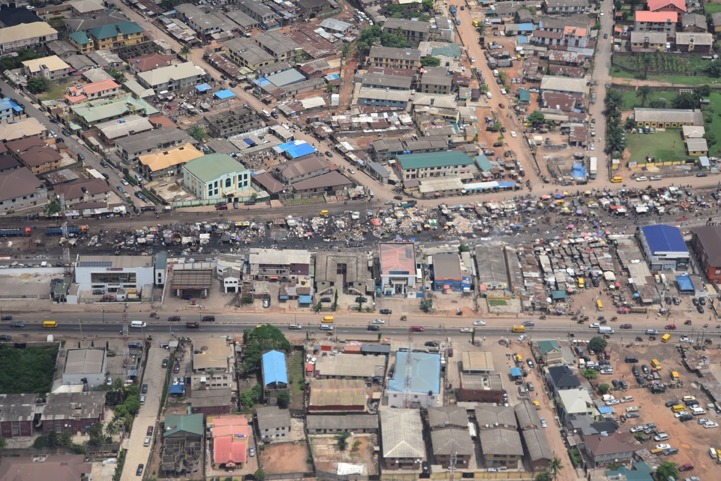
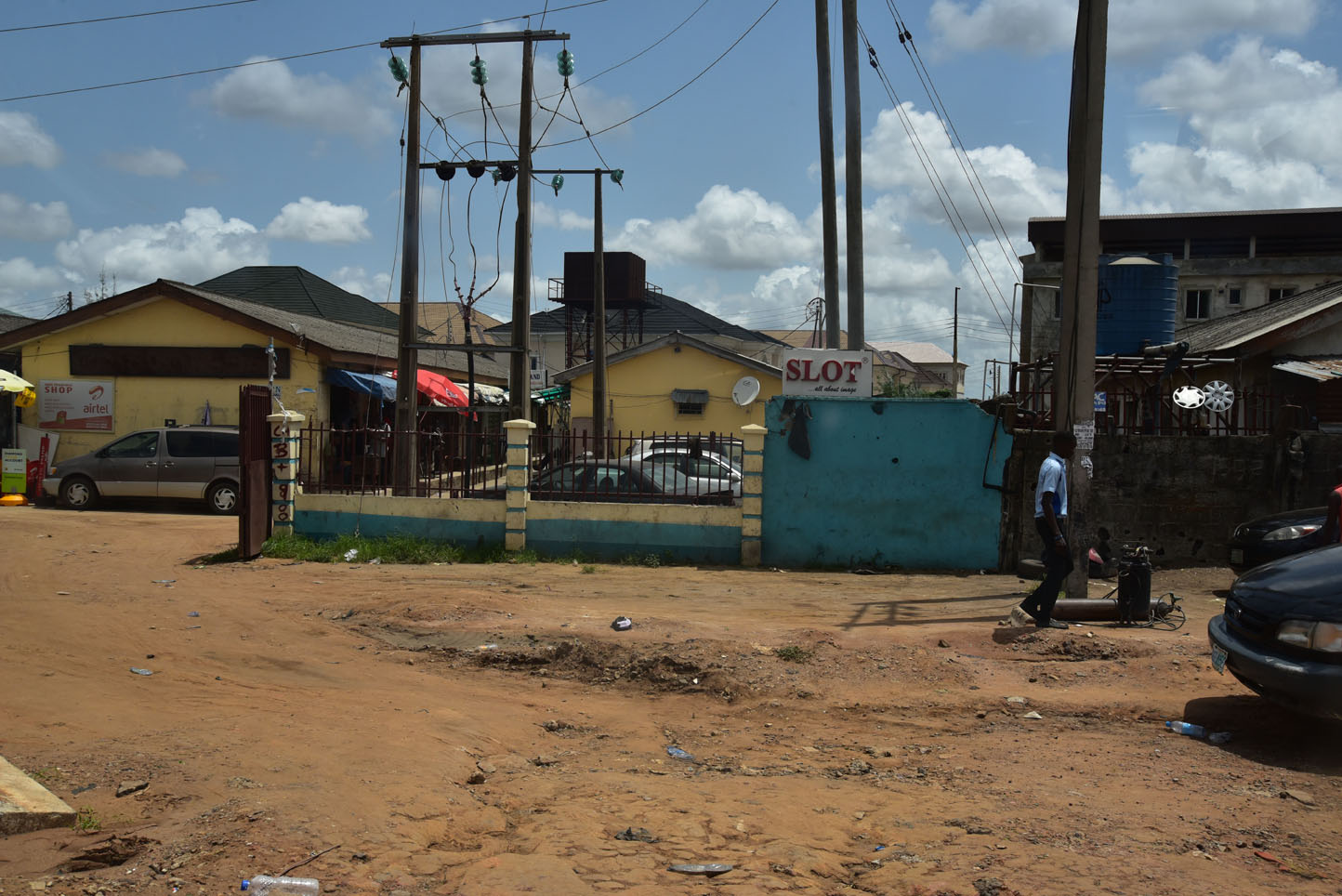
We woke up to clearer weather and took the ride to the airport as a last opportunity for some sightseeing stops before we got swiftly in the air. The scenery on the flight almost all across Nigeria went from brown Sahel, to lush green vegetation and ended over a sea of millions of simple structures (for the locals they are houses).
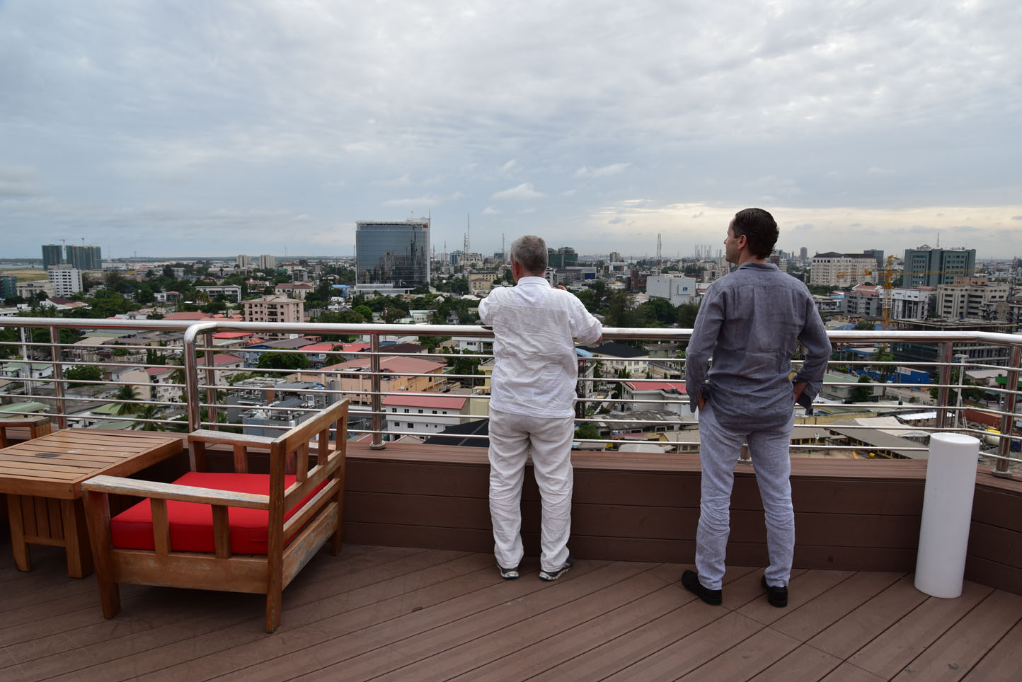
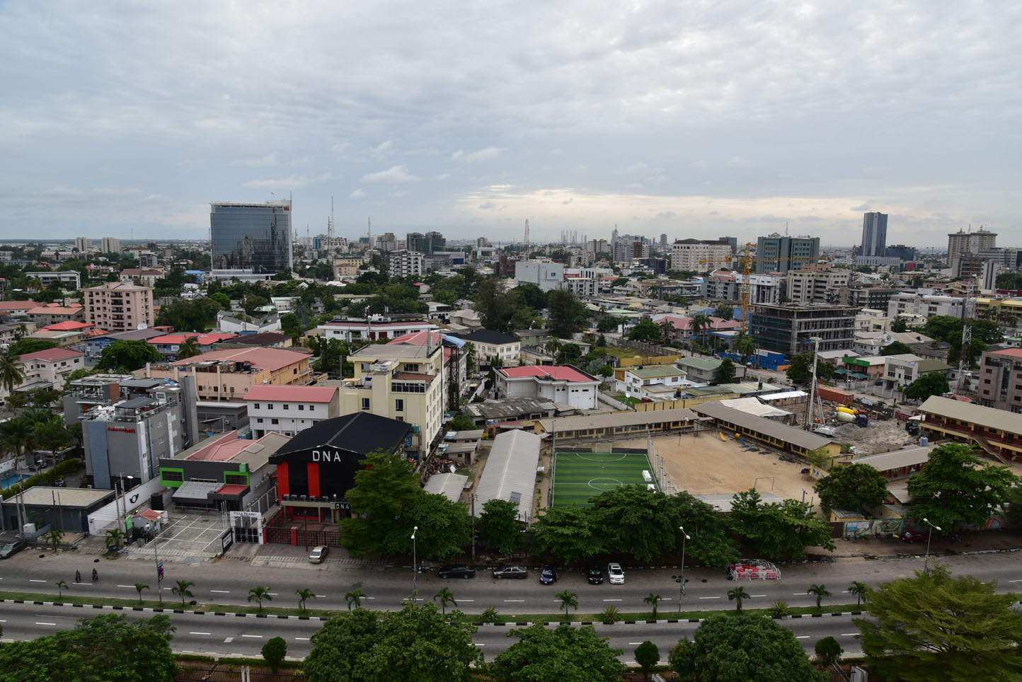
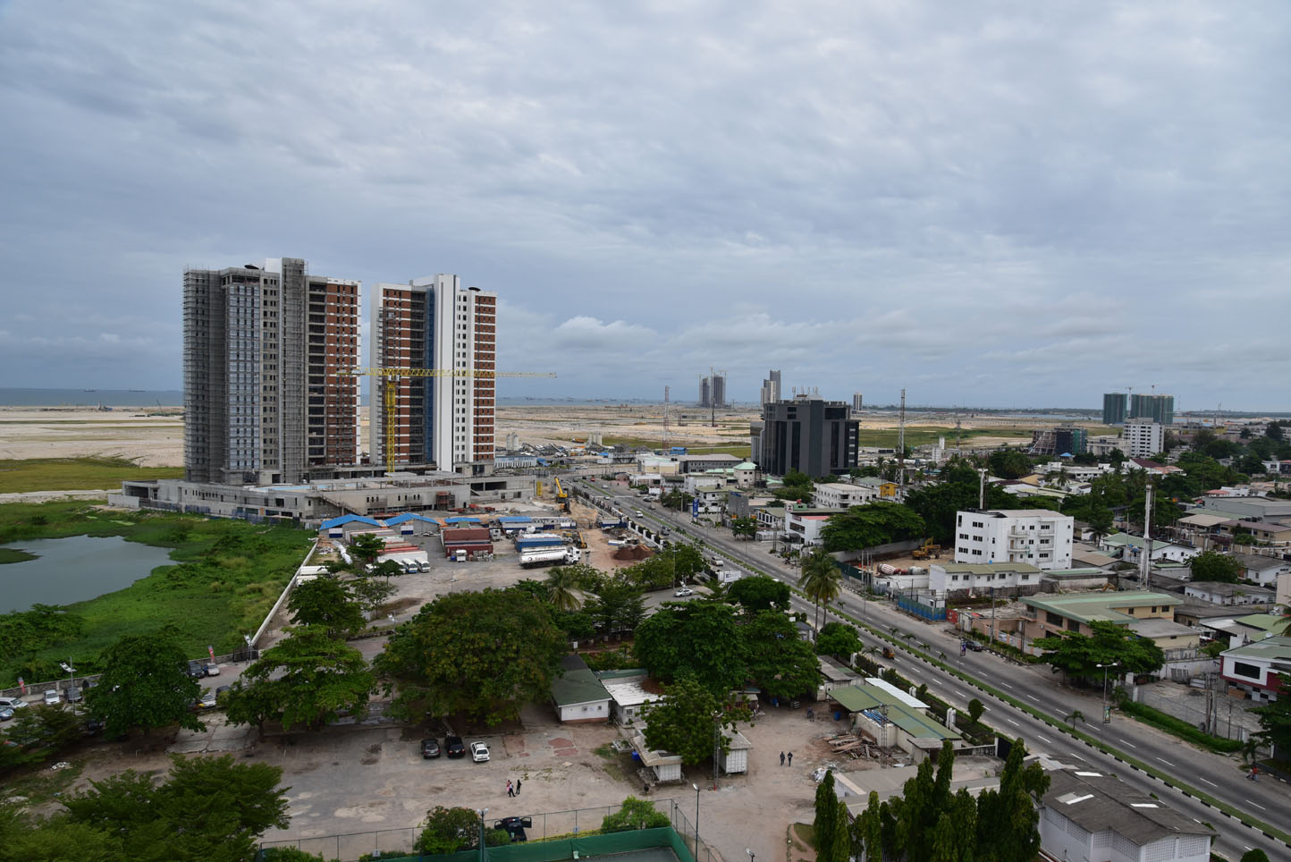
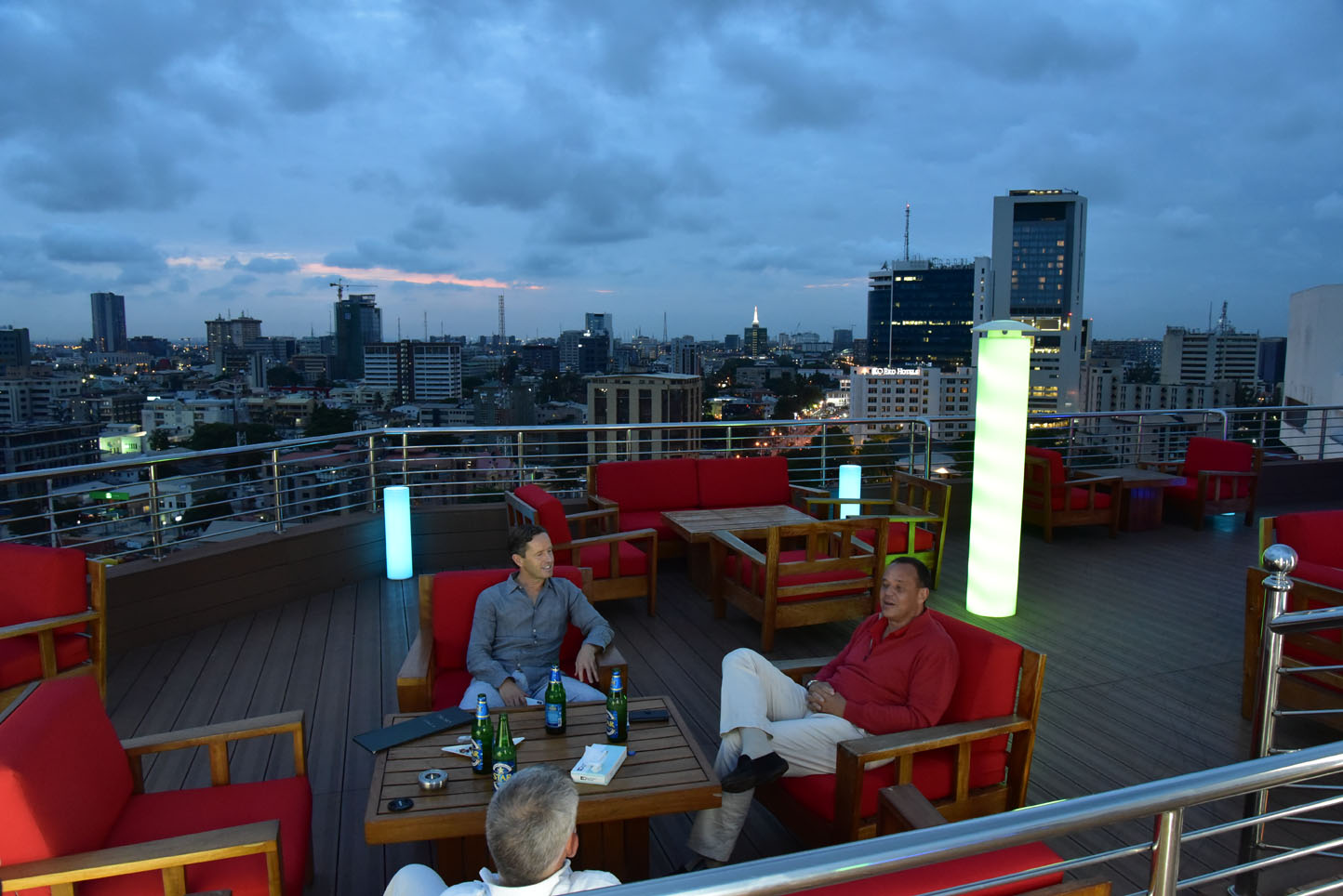
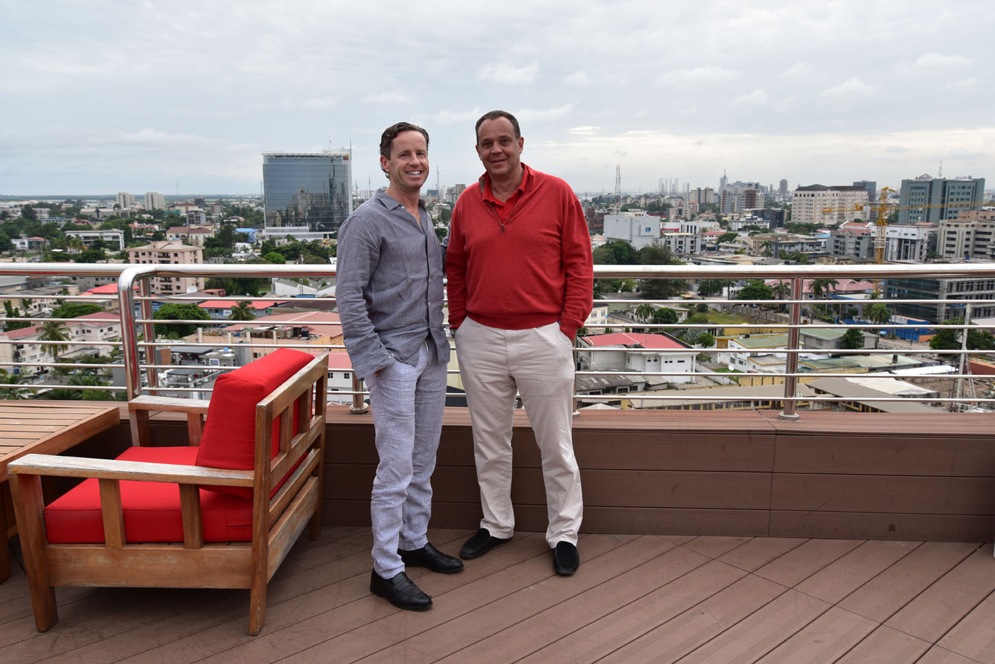
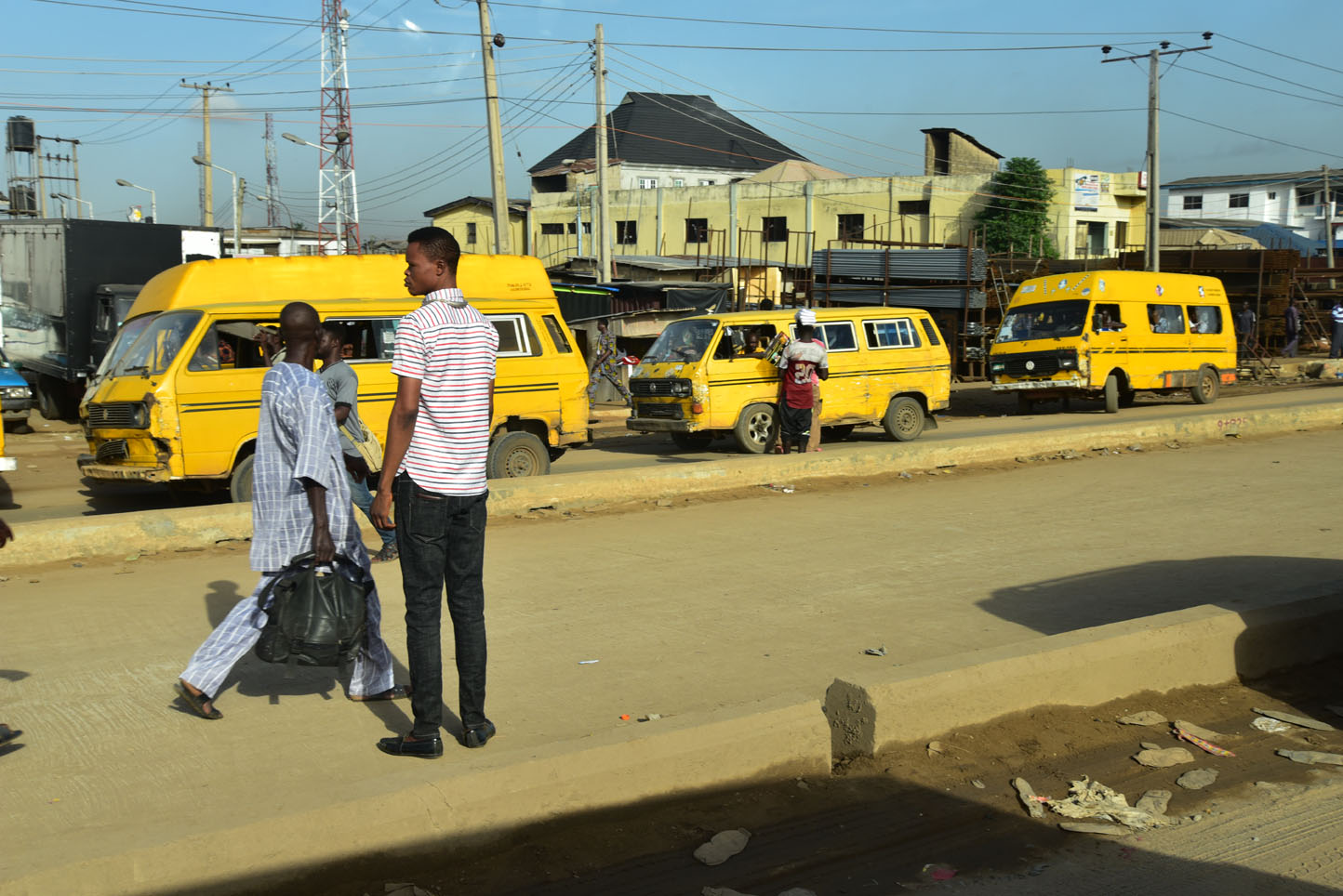
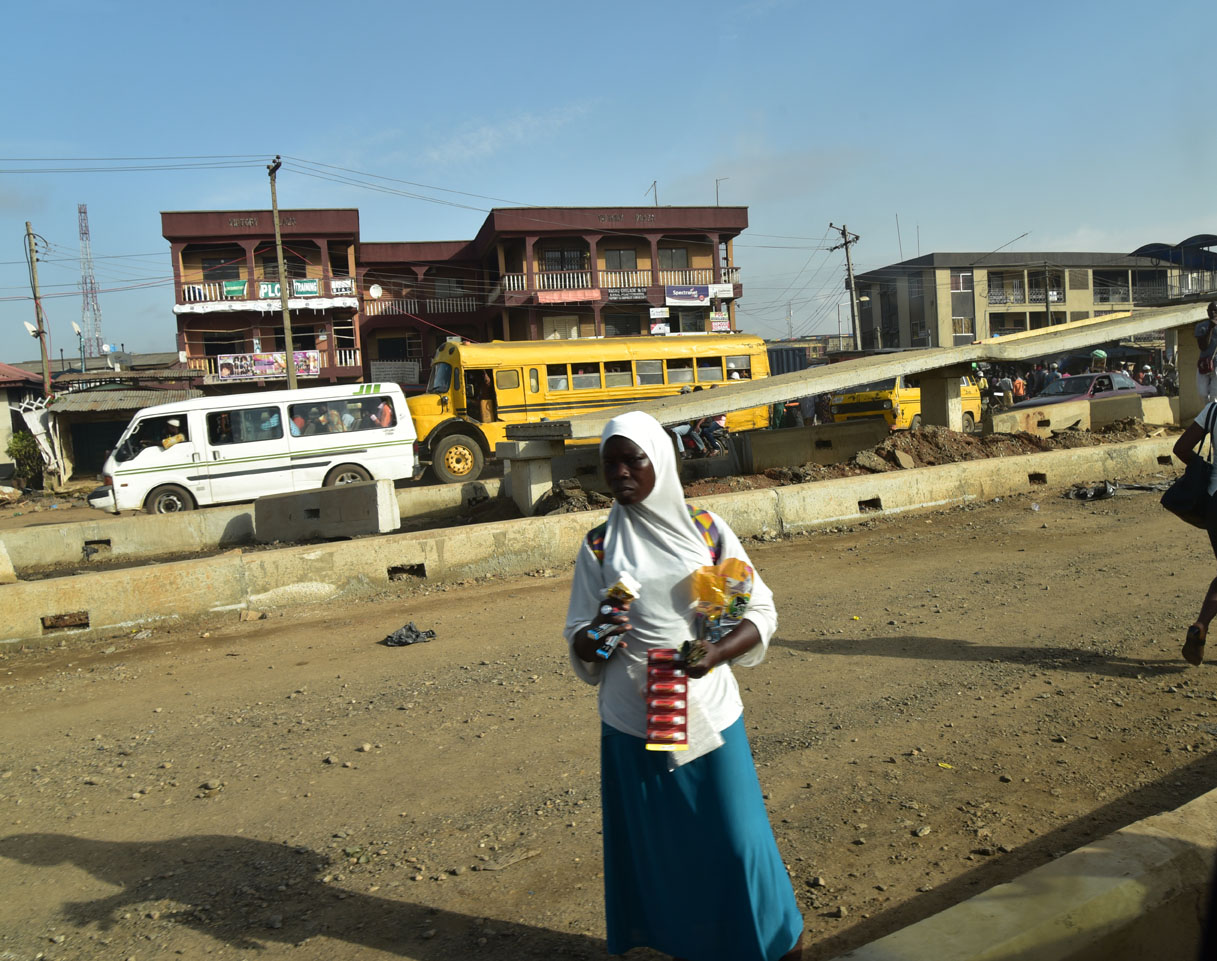
Lagos, being a megacity of 20 million people is hot, humid and chaotic. We took advantage of the light Sunday traffic and went for dinner at a rooftop restaurant in the upscale Victoria Island part of the city.
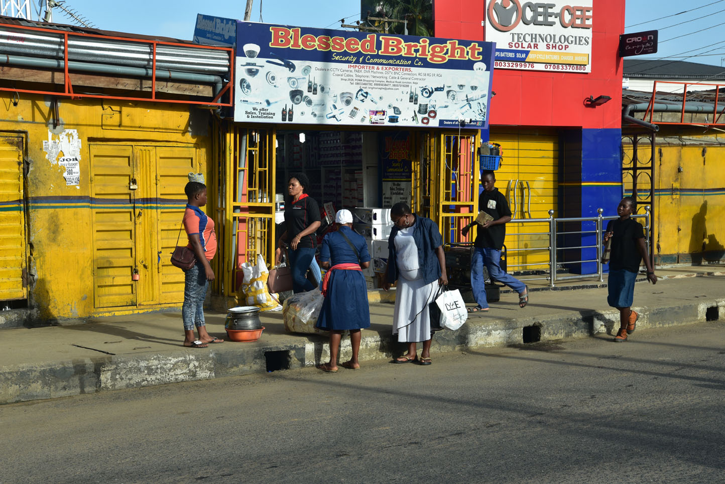
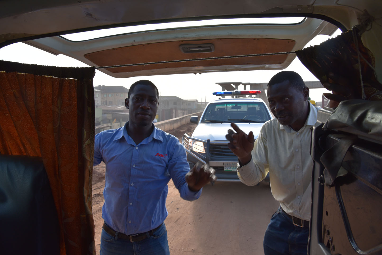
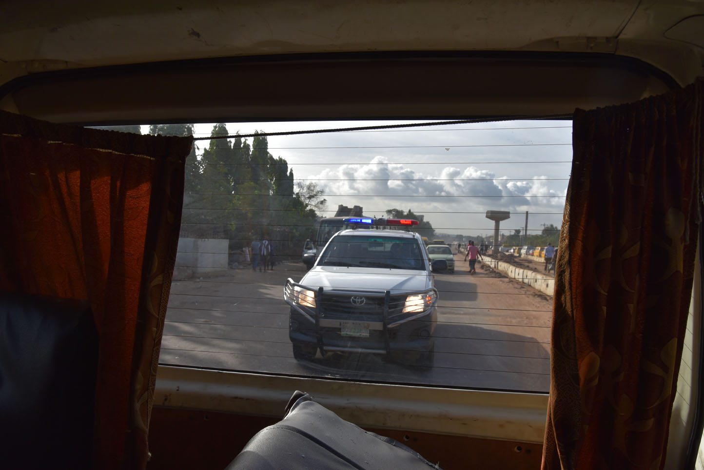
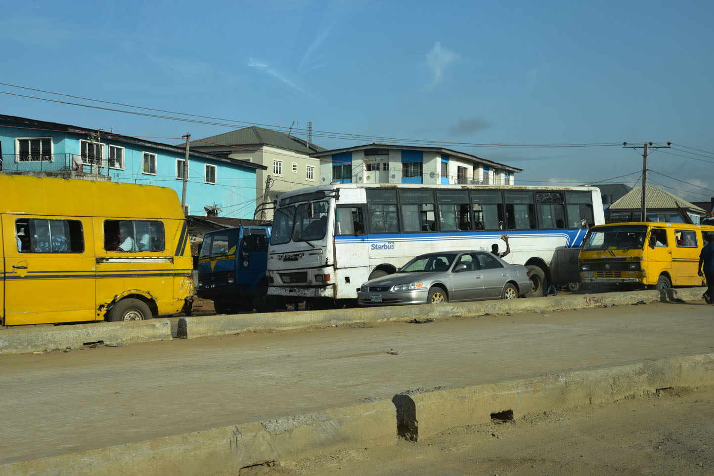
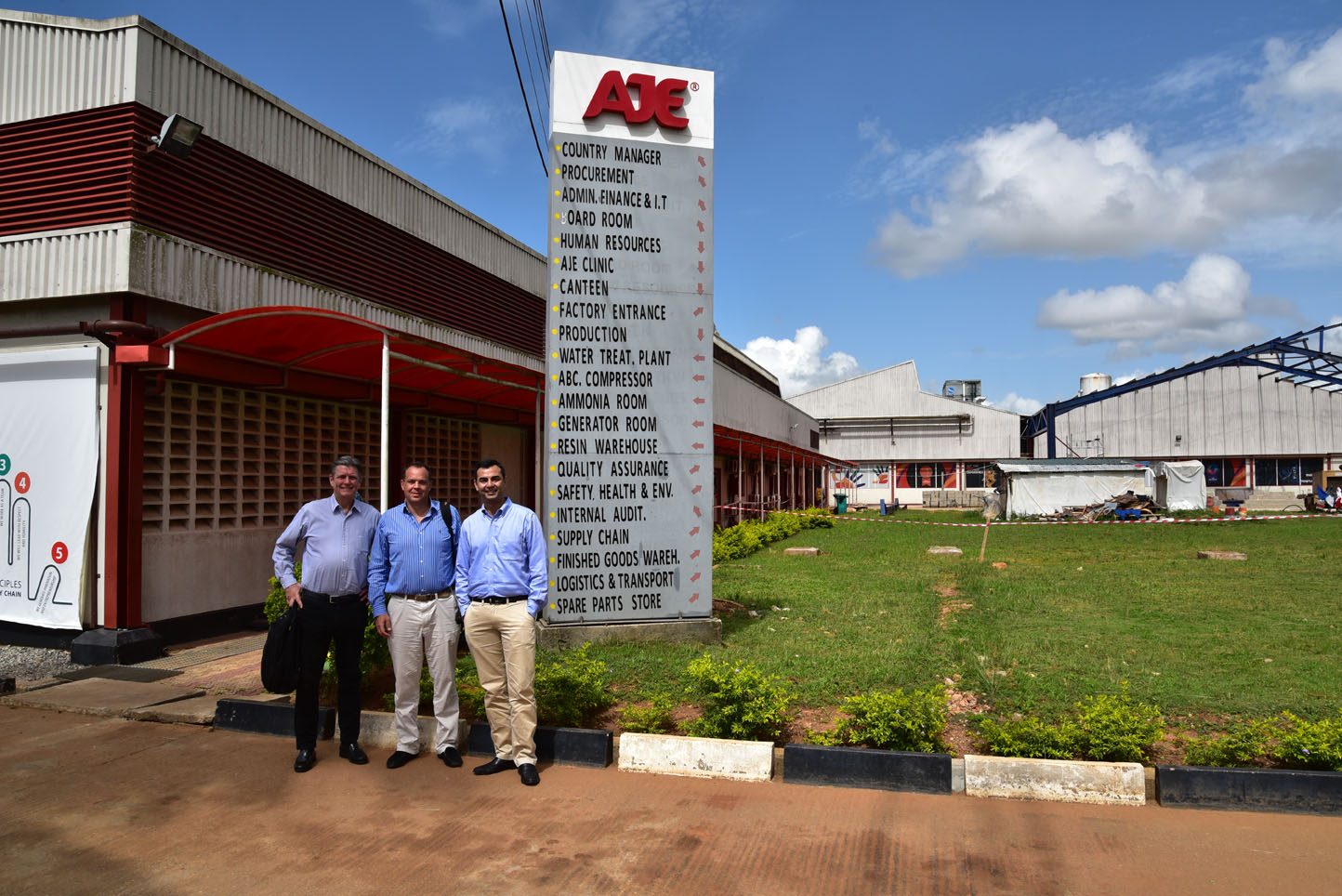
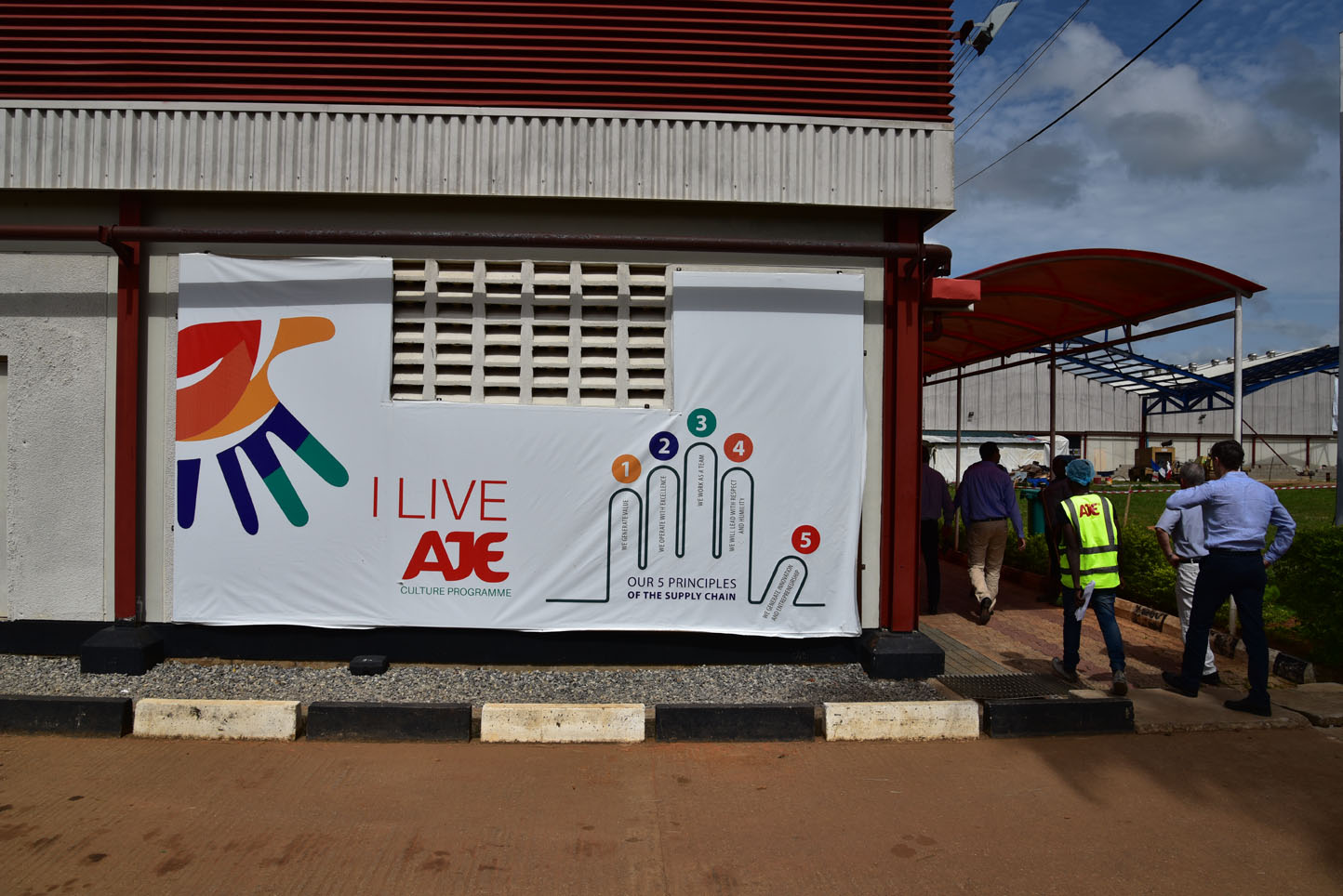
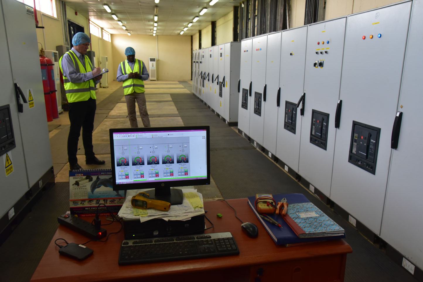
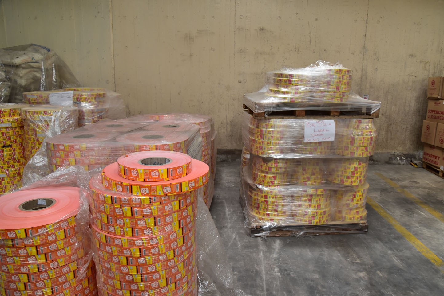
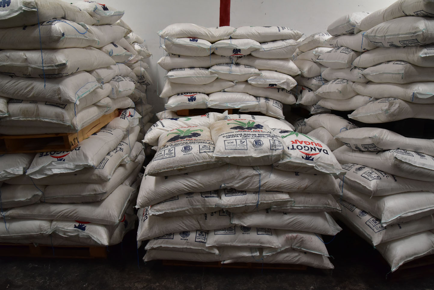
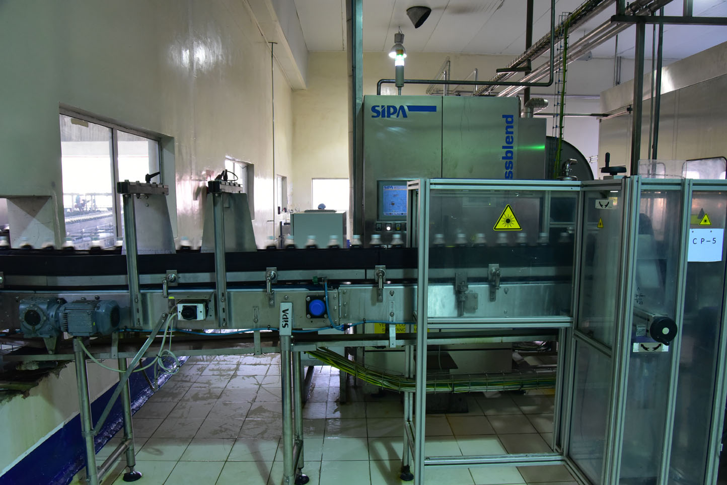
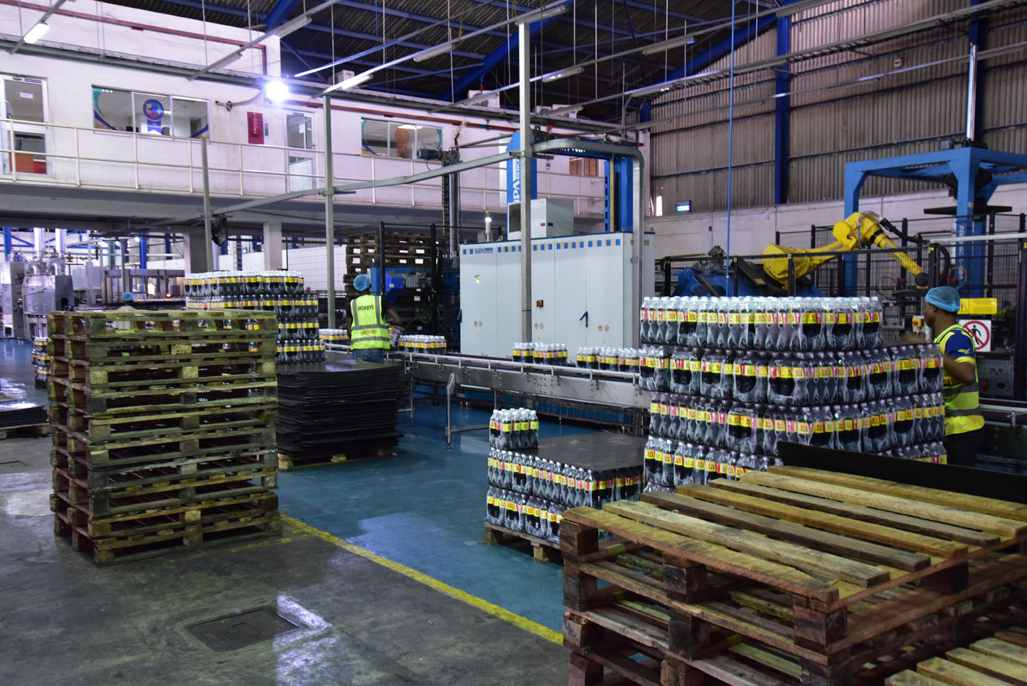
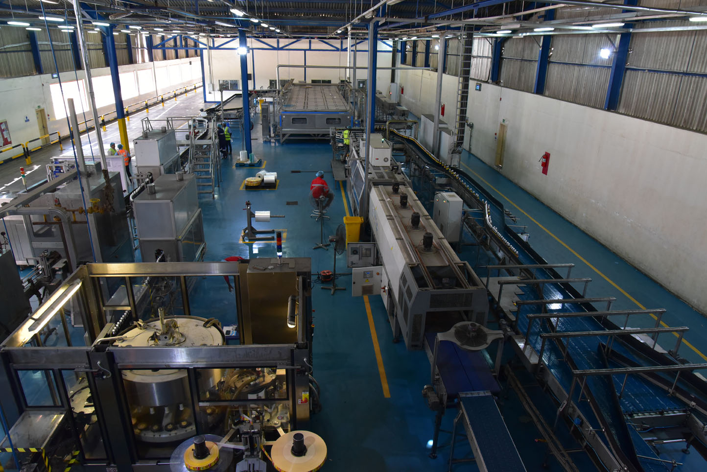
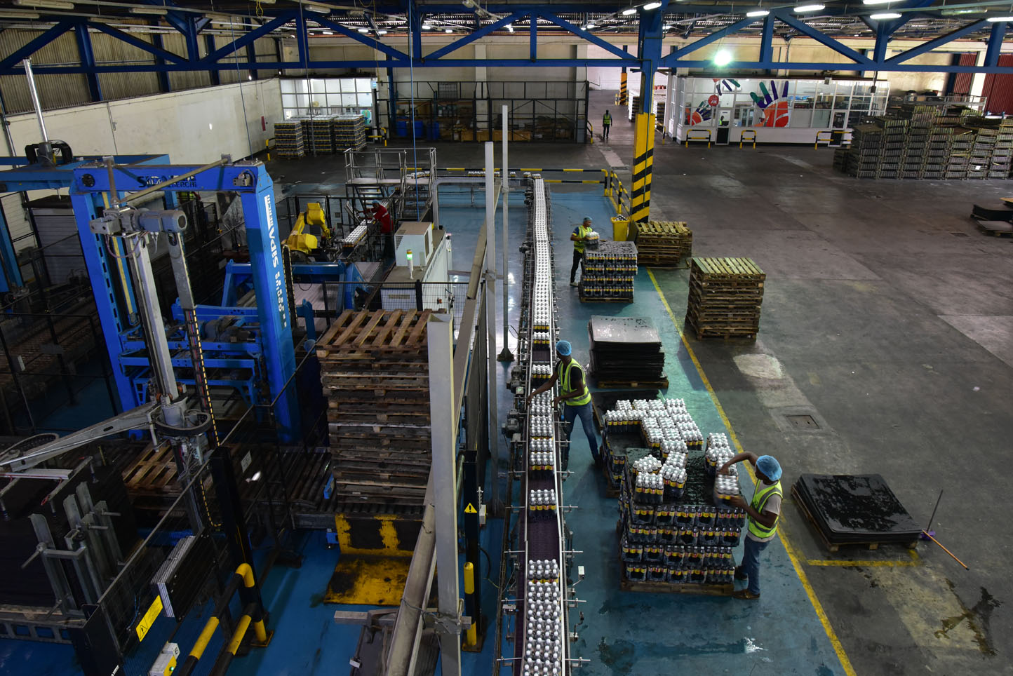
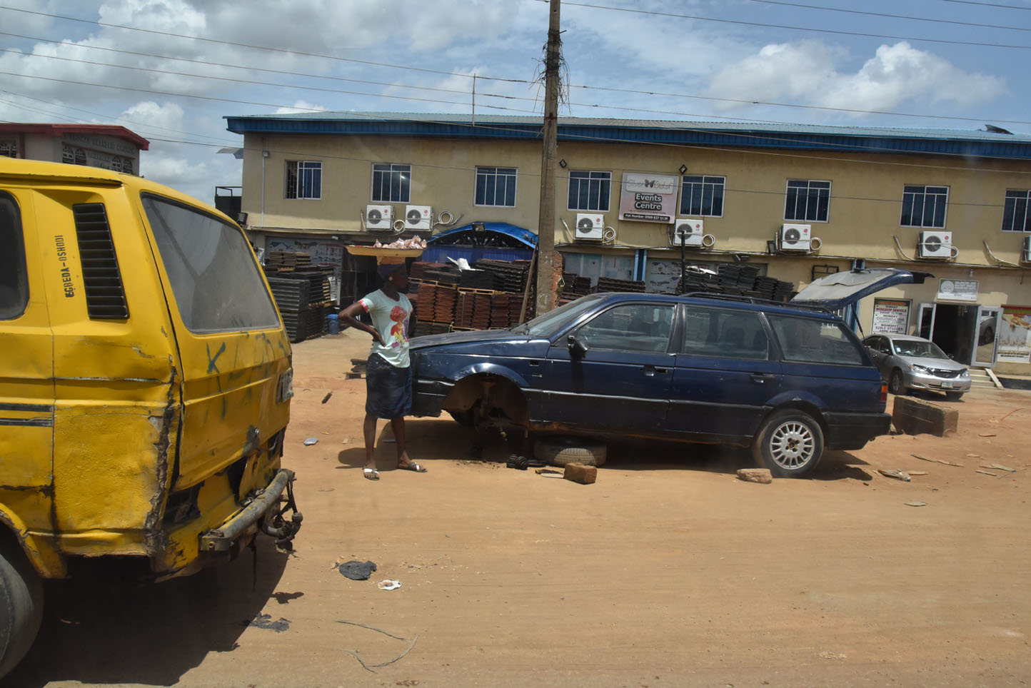
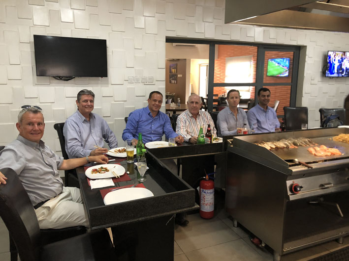
The next day was some kind of a biz day as we went to visit a bottling facility for a Cola brand name BIG Cola. Quite good actually being the only cola I ever liked besides Coke. Having said that, the drive to the location was the real adventure in typical Lagos morning traffic, including a change of vehicles due to a brake down on the road. It helped that we had a convoy to get us faster through it all. It almost seems unreal what one gets to see along the road. The drive can take anywhere from two to six hours!
The factory tour was very informative and well worth the effort. The day was completed with a special local drink that has entered the market in a storm, a mixture of a bitter, beer and soda.
Facts & figures
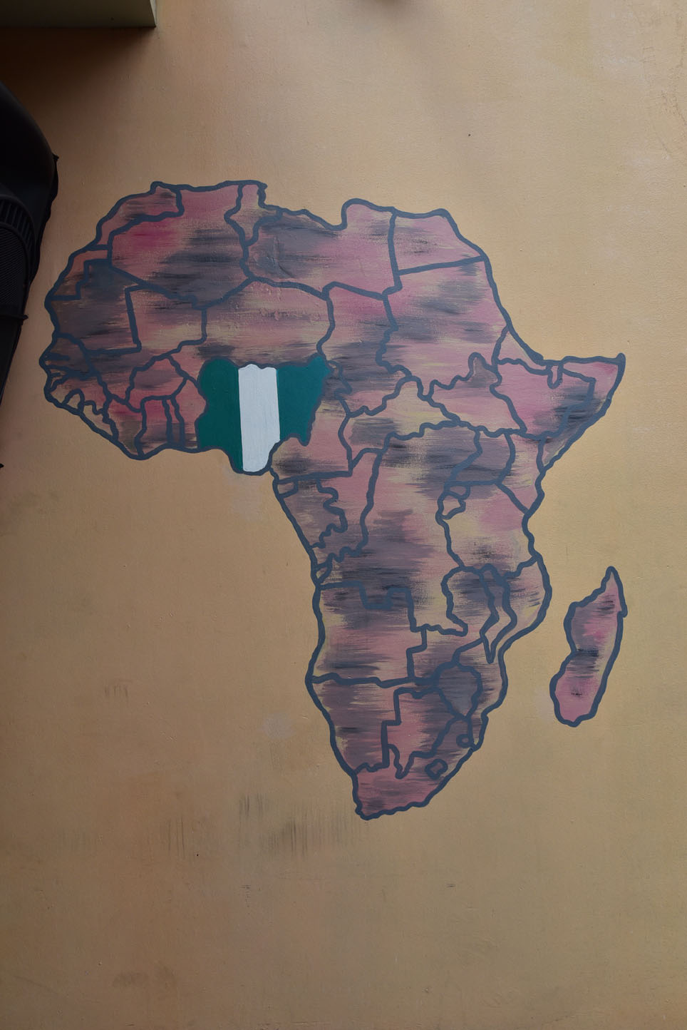
The Federal Republic of Nigeria, a country in the south east of West Africa, with a coast at the Bight of Benin and the Gulf of Guinea. Nigeria is bordered by Benin, Cameroon, Chad, and Niger, it shares maritime borders with Equatorial Guinea, Ghana, and São Tomé and Príncipe.
Nigeria is often referred to as the “Giant of Africa”, owing to its large population and economy. With 186 million inhabitants, Nigeria is the most populous country in Africa and the seventh most populous country in the world. With an area of 923,768 km² the country is almost four times the size of the UK or slightly more than twice the size of the U.S. state California. Nigeria’s main rivers are the Niger, where it got its name from, and the Benue, the main tributary of the Niger. The country’s highest point is Chappal Waddi (or Gangirwal) with 2,419 m located in the Adamawa mountains in the Gashaka-Gumti National Park, Taraba State, on the border with Cameroon. Capital city is Abuja, located in the center of the nation, while Lagos is the country’s primary port, economic hub and the largest city. Spoken languages are English (official), Hausa, Igbo, it is estimated that Nigeria has about 250 different ethno-linguistic groups. Islam (41%) and Christianity (58%) are the country’s major religions.
Nigeria has been home to a number of kingdoms and tribal states over the millennia. The modern state originated from British colonial rule beginning in the 19th century, and took its present territorial shape with the merging of the Southern Nigeria Protectorate and Northern Nigeria Protectorate in 1914. The British set up administrative and legal structures whilst practicing indirect rule through traditional chiefdoms. Nigeria became a formally independent federation in 1960.
It experienced a civil war from 1967 to 1970. It thereafter alternated between democratically elected civilian governments and military dictatorships until it achieved a stable democracy in 1999, with the 2011 presidential election considered the first to be reasonably free and fair.
Source: wikipedia.org / nationsonline.org